Area Overview for SN12 8EY
Photos of SN12 8EY
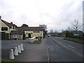
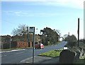
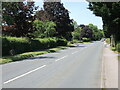
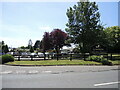
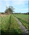
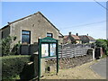
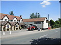
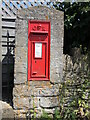
16 photos from this area
Area Information
Key information about the SN12 8EY including its size, population, and administrative classification.
- Area Type
- Postcode
- Area Size
- 10.9 hectares
- Population
- 1558
- Population Density
- 316 people/km²
House Prices in SN12 8EY
13
Properties
£422,929
Average Sold Price
£110,500
Lowest Price
£690,000
Highest Price
Showing 13 properties
| Address | Type | Beds | Baths | Last Sale Price | Last Sale Date | |
|---|---|---|---|---|---|---|
| 39 Shaw Hill, Shaw, SN12 8EY | Detached | 3 | - | £675,000 | Mar 2023 | |
| 34 Shaw Hill, Shaw, SN12 8EY | Semi-detached | 4 | 2 | £540,000 | Nov 2022 | |
| Mullions, 46 Shaw Hill, Shaw, SN12 8EY | Semi-detached | 3 | 2 | £395,000 | Apr 2010 | |
| 45 Shaw Hill, Shaw, SN12 8EY | Detached | 5 | - | £690,000 | Dec 2009 | |
| Piper Cottage, 41 Shaw Hill, Shaw, SN12 8EY | Semi-detached | - | - | £325,000 | Aug 2007 | |
| 38 Shaw Hill, Shaw, SN12 8EY | Semi-detached | - | - | £225,000 | Mar 2000 | |
| 35 Shaw Hill, Shaw, SN12 8EY | house | - | - | £110,500 | Nov 1999 | |
| 33 Shaw Hill, Shaw, SN12 8EY | Detached | 4 | 2 | - | - | |
| Oaks Farm, Shaw Hill, Shaw, SN12 8EY | Semi-detached | - | - | - | - | |
| 40 Shaw Hill, Shaw, SN12 8EY | house | - | - | - | - |
Page 1 of 2
Energy Efficiency in SN12 8EY
Amenities
Schools
| Rank | School | Type | Entry gender | Ages |
|---|
Explore more schools in this area
Go to Schools tabDemographics
Household Size
Two person
most common
Accommodation Type
Houses
most common
Tenure
83
majority
Ethnic Group
White
most common
Religion
N/A
most common
Household Composition
N/A
most common
Age
47
median
Adults (30-64 years)
most common
Household Deprivation
N/A
with no deprivation
NS-SEC
43
in Lower managerial occupations
Explore more demographic insights in this area
Go to Demographics tabPlanning
Planning Constraints
- Flood RiskPremium
- Ramsar Wetland SitesPremium
- Area of Outstanding Natural BeautyPremium
- Protected Nature ReservePremium
- Protected WoodlandPremium