Area Overview for SN12 7DU
Photos of SN12 7DU
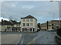
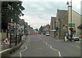
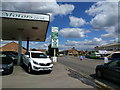
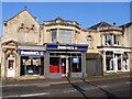
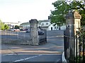

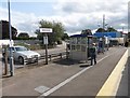
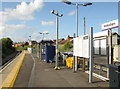
100 photos from this area
Area Information
Key information about the SN12 7DU including its size, population, and administrative classification.
- Area Type
- Postcode
- Area Size
- 3.6 hectares
- Population
- 1913
- Population Density
- 1951 people/km²
House Prices in SN12 7DU
64
Properties
£131,941
Average Sold Price
£51,000
Lowest Price
£195,000
Highest Price
Showing 64 properties
| Address | Type | Beds | Baths | Last Sale Price | Last Sale Date | |
|---|---|---|---|---|---|---|
| 24 Hampshire Place, Melksham, SN12 7DU | Terraced | 3 | 1 | £181,000 | Oct 2021 | |
| 42 Hampshire Place, Melksham, SN12 7DU | Terraced | 3 | 1 | £195,000 | May 2021 | |
| 28 Hampshire Place, Melksham, SN12 7DU | house | - | - | £156,000 | Aug 2020 | |
| 17 Hampshire Place, Melksham, SN12 7DU | Terraced | 2 | 2 | £170,000 | Jun 2018 | |
| 39 Hampshire Place, Melksham, SN12 7DU | Terraced | 1 | 1 | £109,000 | Sep 2017 | |
| 18 Hampshire Place, Melksham, SN12 7DU | Terraced | 2 | 1 | £175,000 | Jun 2017 | |
| 15 Hampshire Place, Melksham, SN12 7DU | Terraced | 3 | 1 | £140,000 | Dec 2014 | |
| 22 Hampshire Place, Melksham, SN12 7DU | house | - | - | £124,000 | Jan 2013 | |
| 63 Hampshire Place, Melksham, SN12 7DU | Flat | - | - | £145,500 | Dec 2007 | |
| 14 Hampshire Place, Melksham, SN12 7DU | house | 3 | - | £134,000 | Nov 2006 |
Page 1 of 7
Energy Efficiency in SN12 7DU
Amenities
Schools
| Rank | School | Type | Entry gender | Ages |
|---|
Explore more schools in this area
Go to Schools tabDemographics
Household Size
One person
most common
Accommodation Type
Houses
most common
Tenure
39
majority
Ethnic Group
White
most common
Religion
N/A
most common
Household Composition
N/A
most common
Age
47
median
Adults (30-64 years)
most common
Household Deprivation
N/A
with no deprivation
NS-SEC
21
in Lower managerial occupations
Explore more demographic insights in this area
Go to Demographics tabPlanning
Planning Constraints
- Flood RiskPremium
- Ramsar Wetland SitesPremium
- Area of Outstanding Natural BeautyPremium
- Protected Nature ReservePremium
- Protected WoodlandPremium