Area Overview for SN12 6DF
Photos of SN12 6DF
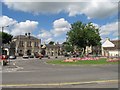
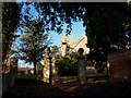
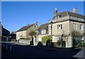
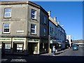
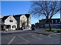
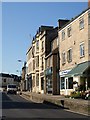
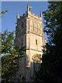
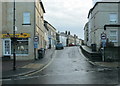
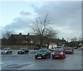
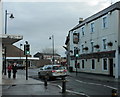
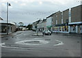
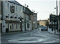
100 photos from this area
Area Information
Key information about the SN12 6DF including its size, population, and administrative classification.
- Area Type
- Postcode
- Area Size
- 5132 m²
- Population
- 1426
- Population Density
- 3358 people/km²
House Prices in SN12 6DF
20
Properties
£136,085
Average Sold Price
£65,000
Lowest Price
£230,000
Highest Price
Showing 20 properties
| Address | Type | Beds | Baths | Last Sale Price | Last Sale Date | |
|---|---|---|---|---|---|---|
| 19 Semington Road, Melksham, SN12 6DF | Terraced | 2 | 1 | £230,000 | Jun 2024 | |
| 25A Semington Road, Melksham, SN12 6DF | Semi-detached | 2 | 1 | £168,000 | Nov 2023 | |
| 27 Semington Road, Melksham, SN12 6DF | house | - | - | £190,000 | Jan 2021 | |
| 39 Semington Road, Melksham, SN12 6DF | Terraced | 2 | 1 | £150,000 | Aug 2020 | |
| 29 Semington Road, Melksham, SN12 6DF | Terraced | 2 | - | £155,250 | Aug 2019 | |
| 17 Semington Road, Melksham, SN12 6DF | house | 3 | 1 | £175,000 | Apr 2019 | |
| 35 Semington Road, Melksham, SN12 6DF | Terraced | 2 | 1 | £159,200 | Feb 2017 | |
| 41 Semington Road, Melksham, SN12 6DF | Terraced | 3 | 2 | £165,000 | May 2016 | |
| 37 Semington Road, Melksham, SN12 6DF | Terraced | 2 | 1 | £105,000 | Mar 2013 | |
| 23 Semington Road, Melksham, SN12 6DF | Terraced | 2 | 1 | £125,000 | Dec 2012 |
Page 1 of 2
Energy Efficiency in SN12 6DF
Amenities
Schools
| Rank | School | Type | Entry gender | Ages |
|---|
Explore more schools in this area
Go to Schools tabDemographics
Household Size
Two person
most common
Accommodation Type
Houses
most common
Tenure
80
majority
Ethnic Group
White
most common
Religion
N/A
most common
Household Composition
N/A
most common
Age
47
median
Adults (30-64 years)
most common
Household Deprivation
N/A
with no deprivation
NS-SEC
29
in Lower managerial occupations
Explore more demographic insights in this area
Go to Demographics tabPlanning
Planning Constraints
- Flood RiskPremium
- Ramsar Wetland SitesPremium
- Area of Outstanding Natural BeautyPremium
- Protected Nature ReservePremium
- Protected WoodlandPremium