Area Overview for SN10 4PG
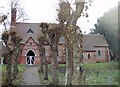
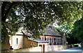
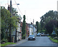
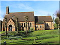
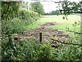
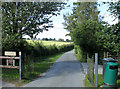
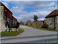
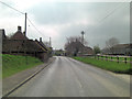
Photos of SN10 4PG
![Down the escarpment [4] in SN10 4PG](https://images.propbar.co.uk/images/geograph/54/52/5452905_120.jpg)
![Bridleway meets byway [1] in SN10 4PG](https://images.propbar.co.uk/images/geograph/54/52/5452906_120.jpg)
![Bridleway meets byway [2] in SN10 4PG](https://images.propbar.co.uk/images/geograph/54/52/5452907_120.jpg)
![Bridleway meets byway [3] in SN10 4PG](https://images.propbar.co.uk/images/geograph/54/52/5452908_120.jpg)
46 photos from this area
Area Information
Key information about the SN10 4PG including its size, population, and administrative classification.
- Area Type
- Postcode
- Area Size
- 4.2 hectares
- Population
- 1939
- Population Density
- 54 people/km²
House Prices in SN10 4PG
8
Properties
£221,500
Average Sold Price
£183,000
Lowest Price
£260,000
Highest Price
Showing 8 properties
| Address | Type | Beds | Baths | Last Sale Price | Last Sale Date | |
|---|---|---|---|---|---|---|
| Fairview, 76 High Street, Easterton, SN10 4PG | Detached | 4 | 3 | £260,000 | Feb 2007 | |
| The Gables, 74 High Street, Easterton, SN10 4PG | Detached | 2 | 1 | £183,000 | May 2006 | |
| Hill House, 52 High Street, Easterton, SN10 4PG | Detached | 5 | 3 | - | - | |
| Highlands House, 60 High Street, Easterton, SN10 4PG | house | 4 | - | - | - | |
| 56 High Street, Easterton, SN10 4PG | Detached | - | - | - | - | |
| West View, 70 High Street, Easterton, SN10 4PG | house | - | - | - | - | |
| Hillcrest, 72 High Street, Easterton, SN10 4PG | Detached | - | - | - | - | |
| Chenda, 61 High Street, Easterton, SN10 4PG | Detached | - | - | - | - |
Energy Efficiency in SN10 4PG
Amenities
Schools
| Rank | School | Type | Entry gender | Ages |
|---|
Explore more schools in this area
Go to Schools tabDemographics
Household Size
Two person
most common
Accommodation Type
Houses
most common
Tenure
78
majority
Ethnic Group
White
most common
Religion
N/A
most common
Household Composition
N/A
most common
Age
47
median
Adults (30-64 years)
most common
Household Deprivation
N/A
with no deprivation
NS-SEC
42
in Lower managerial occupations
Explore more demographic insights in this area
Go to Demographics tabPlanning
Planning Constraints
- Flood RiskPremium
- Ramsar Wetland SitesPremium
- Area of Outstanding Natural BeautyPremium
- Protected Nature ReservePremium
- Protected WoodlandPremium