Area Overview for SN10 4PD
Photos of SN10 4PD
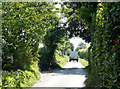

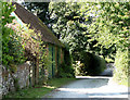
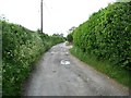
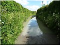
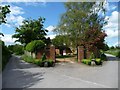
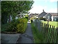
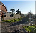
27 photos from this area
Area Information
Key information about the SN10 4PD including its size, population, and administrative classification.
- Area Type
- Postcode
- Area Size
- 17.6 hectares
- Population
- 1939
- Population Density
- 54 people/km²
House Prices in SN10 4PD
39
Properties
£397,265
Average Sold Price
£87,000
Lowest Price
£1,400,000
Highest Price
Showing 39 properties
| Address | Type | Beds | Baths | Last Sale Price | Last Sale Date | |
|---|---|---|---|---|---|---|
| 1 Oak Lane, Easterton, SN10 4PD | Semi-detached | 2 | 1 | £87,500 | Jul 2024 | |
| 49 Oak Lane, Easterton, SN10 4PD | Detached | 4 | - | £425,000 | Nov 2020 | |
| Kestrels, 11 Oak Lane, Easterton, SN10 4PD | Detached | 6 | 3 | £1,400,000 | Jul 2020 | |
| Oak House, Oak Lane, Easterton, SN10 4PD | Detached | 4 | 3 | £570,000 | Jul 2019 | |
| Oaklands Barn, Oak Lane, Easterton, SN10 4PD | Detached | 4 | 3 | £580,000 | May 2017 | |
| 35 Oak Lane, Easterton, SN10 4PD | house | - | - | £285,000 | Jul 2016 | |
| Oaklands, 6 Oak Lane, Easterton, SN10 4PD | Detached | 4 | - | £925,000 | May 2016 | |
| Five Farthings, 59 Oak Lane, Easterton, SN10 4PD | house | - | - | £415,000 | Sep 2015 | |
| Acorns, 53 Oak Lane, Easterton, SN10 4PD | house | - | - | £342,000 | Dec 2012 | |
| 23 Oak Lane, Easterton, SN10 4PD | house | - | - | £225,000 | Sep 2011 |
Page 1 of 4
Energy Efficiency in SN10 4PD
Amenities
Schools
| Rank | School | Type | Entry gender | Ages |
|---|
Explore more schools in this area
Go to Schools tabDemographics
Household Size
Two person
most common
Accommodation Type
Houses
most common
Tenure
78
majority
Ethnic Group
White
most common
Religion
N/A
most common
Household Composition
N/A
most common
Age
47
median
Adults (30-64 years)
most common
Household Deprivation
N/A
with no deprivation
NS-SEC
42
in Lower managerial occupations
Explore more demographic insights in this area
Go to Demographics tabPlanning
Planning Constraints
- Flood RiskPremium
- Ramsar Wetland SitesPremium
- Area of Outstanding Natural BeautyPremium
- Protected Nature ReservePremium
- Protected WoodlandPremium