Area Overview for SN10 3PD
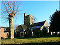
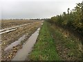
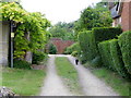
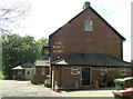
Photos of SN10 3PD
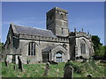
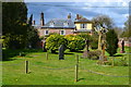
![Paths and fences [1] in SN10 3PD](https://images.propbar.co.uk/images/geograph/50/60/5060298_120.jpg)
![Paths and fences [2] in SN10 3PD](https://images.propbar.co.uk/images/geograph/50/60/5060299_120.jpg)
43 photos from this area
Area Information
Key information about the SN10 3PD including its size, population, and administrative classification.
- Area Type
- Postcode
- Area Size
- 1498 m²
- Population
- 1902
- Population Density
- 43 people/km²
House Prices in SN10 3PD
4
Properties
£323,250
Average Sold Price
£255,000
Lowest Price
£385,000
Highest Price
Showing 4 properties
| Address | Type | Beds | Baths | Last Sale Price | Last Sale Date | |
|---|---|---|---|---|---|---|
| 3, Prospect Cottages, The Street, All Cannings, SN10 3PD | Terraced | 3 | 1 | £350,000 | Jan 2022 | |
| 1, Prospect Cottages, The Street, All Cannings, SN10 3PD | house | - | - | £303,000 | Dec 2020 | |
| 2, Prospect Cottages, The Street, All Cannings, SN10 3PD | house | - | - | £255,000 | Nov 2015 | |
| Prospect House, The Street, All Cannings, SN10 3PD | Detached | 4 | 3 | £385,000 | Apr 2004 |
Energy Efficiency in SN10 3PD
Amenities
Schools
| Rank | School | Type | Entry gender | Ages |
|---|
Explore more schools in this area
Go to Schools tabDemographics
Household Size
Two person
most common
Accommodation Type
Houses
most common
Tenure
77
majority
Ethnic Group
White
most common
Religion
N/A
most common
Household Composition
N/A
most common
Age
47
median
Adults (30-64 years)
most common
Household Deprivation
N/A
with no deprivation
NS-SEC
43
in Lower managerial occupations
Explore more demographic insights in this area
Go to Demographics tabPlanning
Planning Constraints
- Flood RiskPremium
- Ramsar Wetland SitesPremium
- Area of Outstanding Natural BeautyPremium
- Protected Nature ReservePremium
- Protected WoodlandPremium