Area Overview for SN10 2QG
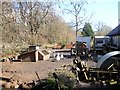
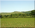
Photos of SN10 2QG
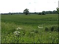
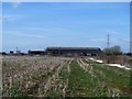
![Kissing gate [1] in SN10 2QG](https://images.propbar.co.uk/images/geograph/57/14/5714919_120.jpg)
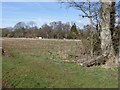
![Kissing gate [2] in SN10 2QG](https://images.propbar.co.uk/images/geograph/57/14/5714935_120.jpg)
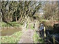
![Kissing gate [3] in SN10 2QG](https://images.propbar.co.uk/images/geograph/57/14/5714939_120.jpg)
12 photos from this area
Area Information
Key information about the SN10 2QG including its size, population, and administrative classification.
- Area Type
- Postcode
- Area Size
- 10.6 hectares
- Population
- 1546
- Population Density
- 119 people/km²
House Prices in SN10 2QG
7
Properties
£220,000
Average Sold Price
£126,000
Lowest Price
£354,000
Highest Price
Showing 7 properties
| Address | Type | Beds | Baths | Last Sale Price | Last Sale Date | |
|---|---|---|---|---|---|---|
| 2 Close Lane, Rowde, SN10 2QG | Detached | 4 | - | £354,000 | Jan 2024 | |
| 4 Close Lane, Rowde, SN10 2QG | Terraced | 2 | 1 | £200,000 | Jul 2015 | |
| 3 Close Lane, Rowde, SN10 2QG | house | - | - | £200,000 | Nov 2013 | |
| 1 Close Lane, Rowde, SN10 2QG | Detached | - | - | £126,000 | Sep 1997 | |
| 5 Close Lane, Rowde, SN10 2QG | Terraced | - | - | - | - | |
| 7 Close Lane, Rowde, SN10 2QG | Semi-detached | - | - | - | - | |
| 6 Close Lane, Rowde, SN10 2QG | Semi-detached | - | - | - | - |
Energy Efficiency in SN10 2QG
Amenities
Schools
| Rank | School | Type | Entry gender | Ages |
|---|
Explore more schools in this area
Go to Schools tabDemographics
Household Size
Two person
most common
Accommodation Type
Houses
most common
Tenure
66
majority
Ethnic Group
White
most common
Religion
N/A
most common
Household Composition
N/A
most common
Age
47
median
Adults (30-64 years)
most common
Household Deprivation
N/A
with no deprivation
NS-SEC
35
in Lower managerial occupations
Explore more demographic insights in this area
Go to Demographics tabPlanning
Planning Constraints
- Flood RiskPremium
- Ramsar Wetland SitesPremium
- Area of Outstanding Natural BeautyPremium
- Protected Nature ReservePremium
- Protected WoodlandPremium