Area Overview for SN10 2PA
Photos of SN10 2PA
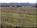
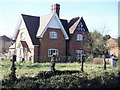
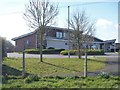
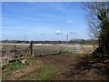
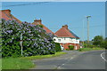
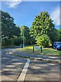
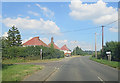
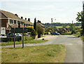
27 photos from this area
Area Information
Key information about the SN10 2PA including its size, population, and administrative classification.
- Area Type
- Postcode
- Area Size
- 7619 m²
- Population
- 1667
- Population Density
- 100 people/km²
House Prices in SN10 2PA
12
Properties
£188,406
Average Sold Price
£68,000
Lowest Price
£277,500
Highest Price
Showing 12 properties
| Address | Type | Beds | Baths | Last Sale Price | Last Sale Date | |
|---|---|---|---|---|---|---|
| 47 Springfield Road, Rowde, SN10 2PA | Bungalow | - | - | £240,000 | Dec 2021 | |
| 46 Springfield Road, Rowde, SN10 2PA | Bungalow | - | - | £277,500 | Sep 2021 | |
| 39 Springfield Road, Rowde, SN10 2PA | Bungalow | - | - | £260,000 | Nov 2020 | |
| 42 Springfield Road, Rowde, SN10 2PA | Bungalow | - | - | £261,000 | Mar 2017 | |
| 37 Springfield Road, Rowde, SN10 2PA | Bungalow | - | - | £195,000 | Jun 2013 | |
| 43 Springfield Road, Rowde, SN10 2PA | Bungalow | 3 | 1 | £128,800 | Jan 2001 | |
| 45 Springfield Road, Rowde, SN10 2PA | Semi-detached | - | - | £76,950 | Jun 1998 | |
| 48 Springfield Road, Rowde, SN10 2PA | Detached | 2 | 1 | £68,000 | Apr 1998 | |
| 38 Springfield Road, Rowde, SN10 2PA | Semi-detached | - | - | - | - | |
| 40 Springfield Road, Rowde, SN10 2PA | Semi-detached | - | - | - | - |
Page 1 of 2
Energy Efficiency in SN10 2PA
Amenities
Schools
| Rank | School | Type | Entry gender | Ages |
|---|
Explore more schools in this area
Go to Schools tabDemographics
Household Size
Two person
most common
Accommodation Type
Houses
most common
Tenure
78
majority
Ethnic Group
White
most common
Religion
N/A
most common
Household Composition
N/A
most common
Age
47
median
Adults (30-64 years)
most common
Household Deprivation
N/A
with no deprivation
NS-SEC
35
in Lower managerial occupations
Explore more demographic insights in this area
Go to Demographics tabPlanning
Planning Constraints
- Flood RiskPremium
- Ramsar Wetland SitesPremium
- Area of Outstanding Natural BeautyPremium
- Protected Nature ReservePremium
- Protected WoodlandPremium