Area Overview for SN10 2LD
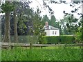
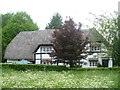
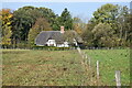
Photos of SN10 2LD
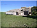
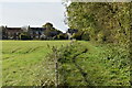
![Three ways to go [1] in SN10 2LD](https://images.propbar.co.uk/images/geograph/58/04/5804723_120.jpg)
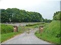
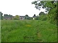
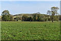
![A circular walk around Horton and Bourton [53] in SN10 2LD](https://images.propbar.co.uk/images/geograph/65/47/6547806_120.jpg)
37 photos from this area
Area Information
Key information about the SN10 2LD including its size, population, and administrative classification.
- Area Type
- Postcode
- Area Size
- 20.0 hectares
- Population
- 1296
- Population Density
- 33 people/km²
House Prices in SN10 2LD
19
Properties
£474,345
Average Sold Price
£175,000
Lowest Price
£940,000
Highest Price
Showing 19 properties
| Address | Type | Beds | Baths | Last Sale Price | Last Sale Date | |
|---|---|---|---|---|---|---|
| Linden, The Street, Bishops Cannings, SN10 2LD | Retail | 4 | 2 | £940,000 | Aug 2022 | |
| The Vicarage, The Street, Bishops Cannings, SN10 2LD | house | - | - | £745,000 | Sep 2021 | |
| Glebeland, The Street, Bishops Cannings, SN10 2LD | Detached | 4 | 3 | £530,300 | May 2018 | |
| Meadow View, The Street, Bishops Cannings, SN10 2LD | house | 3 | - | £317,500 | Feb 2017 | |
| The White House, The Street, Bishops Cannings, SN10 2LD | Detached | - | - | £485,000 | Sep 2010 | |
| The Old Bakehouse, The Street, Bishops Cannings, SN10 2LD | house | - | - | £595,000 | Jul 2010 | |
| Orchard Cottage, The Street, Bishops Cannings, SN10 2LD | Detached | - | - | £700,000 | Oct 2008 | |
| Old Pump Cottage, The Street, Bishops Cannings, SN10 2LD | Detached | - | - | £285,000 | Jul 2002 | |
| Staggs Cottage, The Street, Bishops Cannings, SN10 2LD | house | 6 | - | £185,000 | Mar 1998 | |
| Springfield, The Street, Bishops Cannings, SN10 2LD | Detached | - | - | £260,000 | Dec 1997 |
Page 1 of 2
Energy Efficiency in SN10 2LD
Amenities
Schools
| Rank | School | Type | Entry gender | Ages |
|---|
Explore more schools in this area
Go to Schools tabDemographics
Household Size
Two person
most common
Accommodation Type
Houses
most common
Tenure
69
majority
Ethnic Group
White
most common
Religion
N/A
most common
Household Composition
N/A
most common
Age
47
median
Adults (30-64 years)
most common
Household Deprivation
N/A
with no deprivation
NS-SEC
40
in Lower managerial occupations
Explore more demographic insights in this area
Go to Demographics tabPlanning
Planning Constraints
- Flood RiskPremium
- Ramsar Wetland SitesPremium
- Area of Outstanding Natural BeautyPremium
- Protected Nature ReservePremium
- Protected WoodlandPremium