Area Overview for SN1 5AH
Photos of SN1 5AH
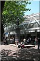

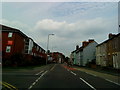

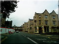


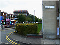
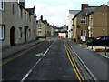
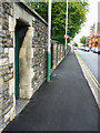
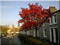
100 photos from this area
Area Information
Key information about the SN1 5AH including its size, population, and administrative classification.
- Area Type
- Postcode
- Area Size
- 5766 m²
- Population
- 1737
- Population Density
- 9319 people/km²
House Prices in SN1 5AH
93
Properties
£120,377
Average Sold Price
£85,000
Lowest Price
£168,250
Highest Price
Showing 93 properties
| Address | Type | Beds | Baths | Last Sale Price | Last Sale Date | |
|---|---|---|---|---|---|---|
| 10, Guild House, Farnsby Street, Swindon, SN1 5AH | Flat | 1 | 1 | £116,000 | Mar 2024 | |
| 52, Guild House, Farnsby Street, Swindon, SN1 5AH | Flat | - | - | £85,000 | Dec 2023 | |
| 47, Guild House, Farnsby Street, Swindon, SN1 5AH | Flat | - | - | £118,000 | Sep 2023 | |
| 48, Guild House, Farnsby Street, Swindon, SN1 5AH | Flat | 2 | 1 | £164,000 | Feb 2021 | |
| 6, Guild House, Farnsby Street, Swindon, SN1 5AH | Flat | 1 | 1 | £117,500 | Sep 2020 | |
| 58, Guild House, Farnsby Street, Swindon, SN1 5AH | Flat | 1 | 1 | £122,500 | Jul 2020 | |
| 65, Guild House, Farnsby Street, Swindon, SN1 5AH | Flat | - | - | £120,000 | Apr 2020 | |
| 78, Guild House, Farnsby Street, Swindon, SN1 5AH | Flat | 1 | 1 | £168,250 | Mar 2019 | |
| 29, Guild House, Farnsby Street, Swindon, SN1 5AH | Flat | 1 | 1 | £115,000 | Sep 2018 | |
| 76, Guild House, Farnsby Street, Swindon, SN1 5AH | Flat | 1 | 1 | £128,000 | Jul 2018 |
Page 1 of 10
Energy Efficiency in SN1 5AH
Amenities
Schools
| Rank | School | Type | Entry gender | Ages |
|---|
Explore more schools in this area
Go to Schools tabDemographics
Household Size
One person
most common
Accommodation Type
Flats
most common
Tenure
14
majority
Ethnic Group
asian_total
most common
Religion
N/A
most common
Household Composition
N/A
most common
Age
47
median
Adults (30-64 years)
most common
Household Deprivation
N/A
with no deprivation
NS-SEC
28
in Lower managerial occupations
Explore more demographic insights in this area
Go to Demographics tabPlanning
Planning Constraints
- Flood RiskPremium
- Ramsar Wetland SitesPremium
- Area of Outstanding Natural BeautyPremium
- Protected Nature ReservePremium
- Protected WoodlandPremium