Area Overview for SN1 4NG
Photos of SN1 4NG
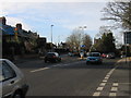
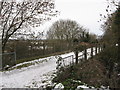
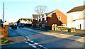
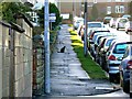
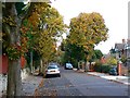
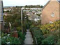
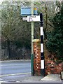
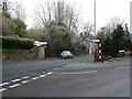
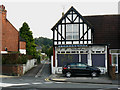
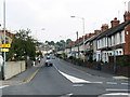
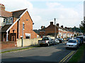
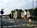
97 photos from this area
Area Information
Key information about the SN1 4NG including its size, population, and administrative classification.
- Area Type
- Postcode
- Area Size
- 5679 m²
- Population
- 1716
- Population Density
- 6620 people/km²
House Prices in SN1 4NG
24
Properties
£181,383
Average Sold Price
£106,500
Lowest Price
£290,000
Highest Price
Showing 24 properties
| Address | Type | Beds | Baths | Last Sale Price | Last Sale Date | |
|---|---|---|---|---|---|---|
| 223 Kingshill Road, Kingshill, Swindon, SN1 4NG | Detached | 3 | 2 | £290,000 | Mar 2025 | |
| 216 Kingshill Road, Kingshill, Swindon, SN1 4NG | house | 1 | 1 | £260,000 | May 2023 | |
| 225 Kingshill Road, Kingshill, Swindon, SN1 4NG | Semi-detached | 3 | 1 | £175,000 | Jun 2014 | |
| 215 Kingshill Road, Kingshill, Swindon, SN1 4NG | Terraced | 4 | 2 | £145,000 | Jan 2005 | |
| 224 Kingshill Road, Kingshill, Swindon, SN1 4NG | Semi-detached | - | - | £111,800 | Aug 2002 | |
| 226 Kingshill Road, Kingshill, Swindon, SN1 4NG | Semi-detached | - | - | £106,500 | Sep 1999 | |
| Flat B, 217 Kingshill Road, Kingshill, Swindon, SN1 4NG | Flat | 3 | 3 | - | - | |
| 227 Kingshill Road, Kingshill, Swindon, SN1 4NG | house | 3 | - | - | - | |
| Former, 221 Kingshill Road, Kingshill, Swindon, SN1 4NG | Detached | - | - | - | - | |
| 227A Kingshill Road, Kingshill, Swindon, SN1 4NG | Retail | - | - | - | - |
Page 1 of 3
Energy Efficiency in SN1 4NG
Amenities
Schools
| Rank | School | Type | Entry gender | Ages |
|---|
Explore more schools in this area
Go to Schools tabDemographics
Household Size
Two person
most common
Accommodation Type
Houses
most common
Tenure
69
majority
Ethnic Group
White
most common
Religion
N/A
most common
Household Composition
N/A
most common
Age
47
median
Adults (30-64 years)
most common
Household Deprivation
N/A
with no deprivation
NS-SEC
38
in Lower managerial occupations
Explore more demographic insights in this area
Go to Demographics tabPlanning
Planning Constraints
- Flood RiskPremium
- Ramsar Wetland SitesPremium
- Area of Outstanding Natural BeautyPremium
- Protected Nature ReservePremium
- Protected WoodlandPremium