Area Overview for SN1 3NE
Photos of SN1 3NE
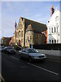
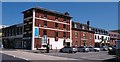
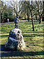

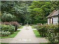
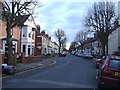
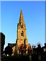
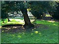
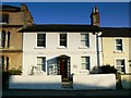
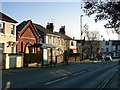
100 photos from this area
Area Information
Key information about the SN1 3NE including its size, population, and administrative classification.
- Area Type
- Postcode
- Area Size
- 1.3 hectares
- Population
- 1608
- Population Density
- 9376 people/km²
House Prices in SN1 3NE
62
Properties
£231,787
Average Sold Price
£59,995
Lowest Price
£355,000
Highest Price
Showing 62 properties
| Address | Type | Beds | Baths | Last Sale Price | Last Sale Date | |
|---|---|---|---|---|---|---|
| 12 Lansdown Road, Old Town, Swindon, SN1 3NE | Terraced | 3 | 2 | £310,000 | Mar 2025 | |
| 25 Lansdown Road, Old Town, Swindon, SN1 3NE | Terraced | 2 | 1 | £185,000 | Aug 2024 | |
| 31 Lansdown Road, Old Town, Swindon, SN1 3NE | Detached | 4 | 2 | £335,000 | Apr 2024 | |
| 41 Lansdown Road, Old Town, Swindon, SN1 3NE | Terraced | 4 | 2 | £353,650 | Mar 2024 | |
| 27 Lansdown Road, Old Town, Swindon, SN1 3NE | house | 2 | - | £300,000 | Jan 2023 | |
| 7 Lansdown Road, Old Town, Swindon, SN1 3NE | Retail | 2 | 1 | £270,000 | Aug 2022 | |
| 8 Lansdown Road, Old Town, Swindon, SN1 3NE | Terraced | 2 | 1 | £293,000 | Apr 2022 | |
| 9 Lansdown Road, Old Town, Swindon, SN1 3NE | Terraced | 2 | 1 | £310,000 | Jul 2021 | |
| 45 Lansdown Road, Old Town, Swindon, SN1 3NE | house | - | - | £227,500 | Jun 2021 | |
| 10 Lansdown Road, Old Town, Swindon, SN1 3NE | Terraced | 3 | - | £350,000 | Mar 2021 |
Page 1 of 7
Energy Efficiency in SN1 3NE
Amenities
Schools
| Rank | School | Type | Entry gender | Ages |
|---|
Explore more schools in this area
Go to Schools tabDemographics
Household Size
One person
most common
Accommodation Type
Houses
most common
Tenure
60
majority
Ethnic Group
White
most common
Religion
N/A
most common
Household Composition
N/A
most common
Age
47
median
Adults (30-64 years)
most common
Household Deprivation
N/A
with no deprivation
NS-SEC
39
in Lower managerial occupations
Explore more demographic insights in this area
Go to Demographics tabPlanning
Planning Constraints
- Flood RiskPremium
- Ramsar Wetland SitesPremium
- Area of Outstanding Natural BeautyPremium
- Protected Nature ReservePremium
- Protected WoodlandPremium