Area Overview for SN1 2EW
Photos of SN1 2EW
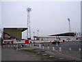
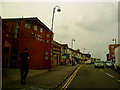
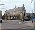

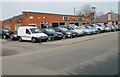
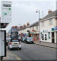

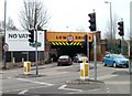
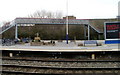

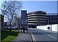
100 photos from this area
Area Information
Key information about the SN1 2EW including its size, population, and administrative classification.
- Area Type
- Postcode
- Area Size
- 9557 m²
- Population
- 3155
- Population Density
- 20394 people/km²
House Prices in SN1 2EW
59
Properties
£149,052
Average Sold Price
£39,250
Lowest Price
£285,000
Highest Price
Showing 59 properties
| Address | Type | Beds | Baths | Last Sale Price | Last Sale Date | |
|---|---|---|---|---|---|---|
| 72 County Road, Swindon, SN1 2EW | Terraced | 4 | 4 | £235,000 | Jul 2025 | |
| 44 County Road, Swindon, SN1 2EW | Terraced | 3 | 1 | £285,000 | Aug 2023 | |
| 38 County Road, Swindon, SN1 2EW | Terraced | 5 | 1 | £250,000 | Jun 2023 | |
| 24 County Road, Swindon, SN1 2EW | Terraced | 3 | 2 | £275,000 | Apr 2023 | |
| 54 County Road, Swindon, SN1 2EW | Terraced | 3 | 1 | £220,000 | May 2020 | |
| 68 County Road, Swindon, SN1 2EW | Terraced | 3 | 1 | £200,000 | Dec 2019 | |
| 18 County Road, Swindon, SN1 2EW | Terraced | 3 | 1 | £205,000 | Sep 2017 | |
| 70 County Road, Swindon, SN1 2EW | house | - | - | £245,000 | Jun 2017 | |
| 48 County Road, Swindon, SN1 2EW | house | - | - | £80,000 | Mar 2017 | |
| 50 County Road, Swindon, SN1 2EW | Terraced | 3 | 1 | £230,000 | Jan 2017 |
Page 1 of 6
Energy Efficiency in SN1 2EW
Amenities
Schools
| Rank | School | Type | Entry gender | Ages |
|---|
Explore more schools in this area
Go to Schools tabDemographics
Household Size
Family (3-5 people)
most common
Accommodation Type
Houses
most common
Tenure
49
majority
Ethnic Group
asian_total
most common
Religion
N/A
most common
Household Composition
N/A
most common
Age
47
median
Adults (30-64 years)
most common
Household Deprivation
N/A
with no deprivation
NS-SEC
9
in Lower managerial occupations
Explore more demographic insights in this area
Go to Demographics tabPlanning
Planning Constraints
- Flood RiskPremium
- Ramsar Wetland SitesPremium
- Area of Outstanding Natural BeautyPremium
- Protected Nature ReservePremium
- Protected WoodlandPremium