Area Overview for SN1 2BB
Photos of SN1 2BB
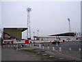
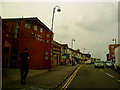
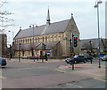
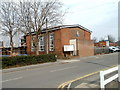
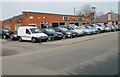
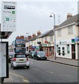

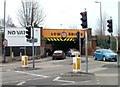
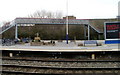

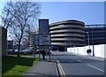
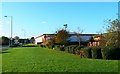
100 photos from this area
Area Information
Key information about the SN1 2BB including its size, population, and administrative classification.
- Area Type
- Postcode
- Area Size
- 4821 m²
- Population
- 3155
- Population Density
- 20394 people/km²
House Prices in SN1 2BB
29
Properties
£167,386
Average Sold Price
£84,500
Lowest Price
£255,000
Highest Price
Showing 29 properties
| Address | Type | Beds | Baths | Last Sale Price | Last Sale Date | |
|---|---|---|---|---|---|---|
| 30 Station Road, Swindon, SN1 2BB | Terraced | 3 | - | £255,000 | Nov 2024 | |
| 27 Station Road, Swindon, SN1 2BB | house | - | - | £235,000 | Mar 2023 | |
| 40 Station Road, Swindon, SN1 2BB | Terraced | 4 | 2 | £210,000 | Jun 2022 | |
| 37 Station Road, Swindon, SN1 2BB | Retail | 2 | 1 | £230,000 | Mar 2022 | |
| 28 Station Road, Swindon, SN1 2BB | house | - | - | £179,000 | Mar 2021 | |
| 29 Station Road, Swindon, SN1 2BB | house | - | - | £210,000 | Mar 2021 | |
| 19 Station Road, Swindon, SN1 2BB | Terraced | 3 | 1 | £147,000 | Nov 2018 | |
| 36 Station Road, Swindon, SN1 2BB | Terraced | 3 | 2 | £187,000 | Jan 2017 | |
| 32 Station Road, Swindon, SN1 2BB | house | - | - | £144,000 | Sep 2014 | |
| 35 Station Road, Swindon, SN1 2BB | Terraced | 3 | 1 | £118,000 | Nov 2012 |
Page 1 of 3
Energy Efficiency in SN1 2BB
Amenities
Schools
| Rank | School | Type | Entry gender | Ages |
|---|
Explore more schools in this area
Go to Schools tabDemographics
Household Size
Family (3-5 people)
most common
Accommodation Type
Houses
most common
Tenure
49
majority
Ethnic Group
asian_total
most common
Religion
N/A
most common
Household Composition
N/A
most common
Age
47
median
Adults (30-64 years)
most common
Household Deprivation
N/A
with no deprivation
NS-SEC
9
in Lower managerial occupations
Explore more demographic insights in this area
Go to Demographics tabPlanning
Planning Constraints
- Flood RiskPremium
- Ramsar Wetland SitesPremium
- Area of Outstanding Natural BeautyPremium
- Protected Nature ReservePremium
- Protected WoodlandPremium