Area Overview for RG17 0TW
Photos of RG17 0TW
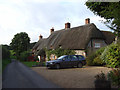
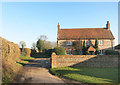
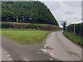
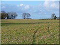
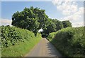
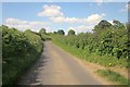
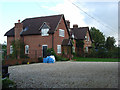
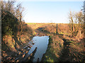
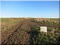
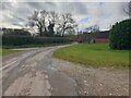
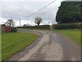
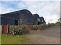
14 photos from this area
Area Information
Key information about the RG17 0TW including its size, population, and administrative classification.
- Area Type
- Postcode
- Area Size
- 44.3 hectares
- Population
- 1844
- Population Density
- 29 people/km²
House Prices in RG17 0TW
4
Properties
£675,000
Average Sold Price
£675,000
Lowest Price
£675,000
Highest Price
Showing 4 properties
| Address | Type | Beds | Baths | Last Sale Price | Last Sale Date | |
|---|---|---|---|---|---|---|
| Crooked Cottage, 28 From B 4192 West Of Chilton Foliat North To Junction Crooked Soley, West Soley, Chilton Foliat, RG17 0TW | Semi-detached | 3 | 2 | £675,000 | Jun 2021 | |
| Mobile Home, Soley Farm Stud, From B 4192 Crooked Soley East And South, West Soley, Chilton Foliat, RG17 0TW | Mobile Home | - | - | - | - | |
| House, Soley Farm Stud, From B 4192 Crooked Soley East And South, West Soley, Chilton Foliat, RG17 0TW | Detached | - | - | - | - | |
| Upper Valley Stud, From B 4192 Crooked Soley East And South, West Soley, Chilton Foliat, RG17 0TW | Detached | - | - | - | - |
Energy Efficiency in RG17 0TW
Amenities
Schools
| Rank | School | Type | Entry gender | Ages |
|---|
Explore more schools in this area
Go to Schools tabDemographics
Household Size
Two person
most common
Accommodation Type
Houses
most common
Tenure
65
majority
Ethnic Group
White
most common
Religion
N/A
most common
Household Composition
N/A
most common
Age
47
median
Adults (30-64 years)
most common
Household Deprivation
N/A
with no deprivation
NS-SEC
44
in Lower managerial occupations
Explore more demographic insights in this area
Go to Demographics tabPlanning
Planning Constraints
- Flood RiskPremium
- Ramsar Wetland SitesPremium
- Area of Outstanding Natural BeautyPremium
- Protected Nature ReservePremium
- Protected WoodlandPremium