Area Overview for Poole Town Ward
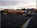
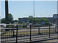
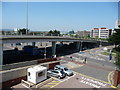
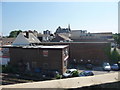
Photos of Poole Town Ward

Area Information
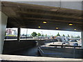
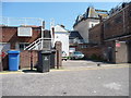
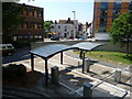
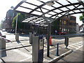
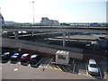
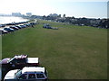
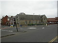
Poole Town Ward stands as a distinct electoral division within the Bournemouth, Christchurch and Poole unitary authority, covering an urban coastal landscape of roughly 5.4 square kilometres. With a population of 6,556 residents, the ward offers a compact living environment defined by its immediate proximity to the sea. You are situated just 0.1 kilometres from the water, placing you directly on the northern and eastern edges of Poole Harbour. This location anchors you in the historic heart of Poole, encompassing the town centre, Longfleet, and Baiter Park. The area functions as a classic urban coastal town where maritime heritage meets modern resort life. You will find yourself surrounded by significant historical landmarks and active institutions, including the headquarters of the Royal National Lifeboat Institution and a Royal Marines base within the harbour. The ward serves as a primary gateway to the Jurassic Coast, a UNESCO World Heritage Site, and provides direct access to Brownsea Island via ferry services from Poole Quay. Your daily life revolves around major cultural institutions like the Arts University Bournemouth and Bournemouth University, while remaining steps away from the commercial port activity that connects the region to the Channel Islands and France.
- Area Type
- District Borough Unitary Ward
- Area Size
- 5.4 km²
- Population
- 6556
- Population Density
- 1218 people/km²
Demographics
The community within Poole Town Ward reflects the broader characteristics of life in this coastal borough. The population centre has a median age of 70, indicating a demographic skewed significantly towards older residents. This age profile shapes the local atmosphere and the types of services residents rely upon. You will find a relatively high level of stability within the ward, with home ownership standing at 49 percent of the total population. This figure suggests that nearly half of those living here have either purchased or inherited their properties, contributing to a settled residential base. Historically part of Poole Borough Council since 2019, the ward now elects two councillors to the Bournemouth, Christchurch and Poole Council. The diverse urban setting draws from a mix of backgrounds, serving as a blend of historical waterfront living and modern university town dynamics. The area appeals to those working in the service economy, tourism, or maritime sectors alongside academics and creative professionals affiliated with nearby institutions. Your neighbourly experience is likely to involve a settled population engaged with the town's rich heritage, including its listed buildings and redeveloped warehouses along the quay. This demographic mix creates a stable environment where long-term residents coexist with those drawn by the region's strategic location and transport links.
Household Size
Accommodation Type
Tenure
Ethnic Group
Religion
Household Composition
Age
Household Deprivation
NS-SEC
Explore more demographic insights in this area
Go to Demographics tabPlanning
Planning Constraints
- Flood RiskPremium
- Ramsar Wetland SitesPremium
- Area of Outstanding Natural BeautyPremium
- Protected Nature ReservePremium
- Protected WoodlandPremium
- Crime RiskPremium