Area Overview for PL6 6SY
Photos of PL6 6SY
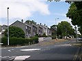

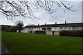
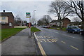
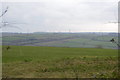
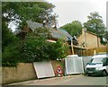
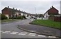
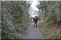
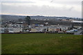
16 photos from this area
Area Information
Key information about the PL6 6SY including its size, population, and administrative classification.
- Area Type
- Postcode
- Area Size
- 4954 m²
- Population
- 1506
- Population Density
- 4277 people/km²
House Prices in PL6 6SY
14
Properties
£108,992
Average Sold Price
£44,000
Lowest Price
£134,950
Highest Price
Showing 14 properties
| Address | Type | Beds | Baths | Last Sale Price | Last Sale Date | |
|---|---|---|---|---|---|---|
| 212 Bampfylde Way, Plymouth, PL6 6SY | Terraced | 2 | 1 | £122,000 | Aug 2020 | |
| 218 Bampfylde Way, Plymouth, PL6 6SY | Terraced | 3 | - | £121,500 | Feb 2016 | |
| 226 Bampfylde Way, Plymouth, PL6 6SY | house | 3 | - | £120,000 | Sep 2011 | |
| 224 Bampfylde Way, Plymouth, PL6 6SY | house | 3 | - | £111,500 | Jun 2011 | |
| 232 Bampfylde Way, Plymouth, PL6 6SY | Terraced | - | - | £134,950 | Dec 2007 | |
| 220 Bampfylde Way, Plymouth, PL6 6SY | house | - | - | £44,000 | Jun 1999 | |
| 208 Bampfylde Way, Plymouth, PL6 6SY | Terraced | 2 | - | - | - | |
| 228 Bampfylde Way, Plymouth, PL6 6SY | house | - | - | - | - | |
| 230 Bampfylde Way, Plymouth, PL6 6SY | house | - | - | - | - | |
| 214 Bampfylde Way, Plymouth, PL6 6SY | house | - | - | - | - |
Page 1 of 2
Energy Efficiency in PL6 6SY
Amenities
Schools
| Rank | School | Type | Entry gender | Ages |
|---|
Explore more schools in this area
Go to Schools tabDemographics
Household Size
Family (3-5 people)
most common
Accommodation Type
Houses
most common
Tenure
49
majority
Ethnic Group
White
most common
Religion
N/A
most common
Household Composition
N/A
most common
Age
47
median
Adults (30-64 years)
most common
Household Deprivation
N/A
with no deprivation
NS-SEC
19
in Lower managerial occupations
Explore more demographic insights in this area
Go to Demographics tabPlanning
Planning Constraints
- Flood RiskPremium
- Ramsar Wetland SitesPremium
- Area of Outstanding Natural BeautyPremium
- Protected Nature ReservePremium
- Protected WoodlandPremium