Area Overview for PL6 5QG
Photos of PL6 5QG
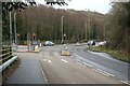
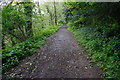
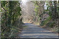
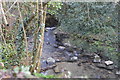
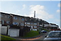
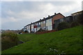
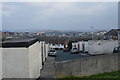
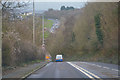
31 photos from this area
Area Information
Key information about the PL6 5QG including its size, population, and administrative classification.
- Area Type
- Postcode
- Area Size
- 5549 m²
- Population
- 1583
- Population Density
- 3723 people/km²
House Prices in PL6 5QG
20
Properties
£151,400
Average Sold Price
£47,000
Lowest Price
£237,500
Highest Price
Showing 20 properties
| Address | Type | Beds | Baths | Last Sale Price | Last Sale Date | |
|---|---|---|---|---|---|---|
| 13 Dunley Walk, Plymouth, PL6 5QG | Terraced | 3 | 1 | £237,500 | May 2024 | |
| 6 Dunley Walk, Plymouth, PL6 5QG | Terraced | 3 | 1 | £195,000 | Nov 2023 | |
| 11 Dunley Walk, Plymouth, PL6 5QG | Terraced | 3 | - | £225,000 | Dec 2021 | |
| 3 Dunley Walk, Plymouth, PL6 5QG | house | - | - | £180,000 | Aug 2021 | |
| 2 Dunley Walk, Plymouth, PL6 5QG | Terraced | - | - | £205,000 | Jun 2021 | |
| 19 Dunley Walk, Plymouth, PL6 5QG | Terraced | 3 | 1 | £172,000 | Mar 2020 | |
| 5 Dunley Walk, Plymouth, PL6 5QG | Terraced | 3 | 1 | £170,000 | Jul 2019 | |
| 15 Dunley Walk, Plymouth, PL6 5QG | Terraced | 3 | 1 | £145,000 | Jul 2019 | |
| 21 Dunley Walk, Plymouth, PL6 5QG | Terraced | 3 | 1 | £155,000 | Oct 2017 | |
| 14 Dunley Walk, Plymouth, PL6 5QG | Terraced | 3 | 1 | £140,000 | Jul 2014 |
Page 1 of 2
Energy Efficiency in PL6 5QG
Amenities
Schools
| Rank | School | Type | Entry gender | Ages |
|---|
Explore more schools in this area
Go to Schools tabDemographics
Household Size
Family (3-5 people)
most common
Accommodation Type
Houses
most common
Tenure
85
majority
Ethnic Group
White
most common
Religion
N/A
most common
Household Composition
N/A
most common
Age
47
median
Adults (30-64 years)
most common
Household Deprivation
N/A
with no deprivation
NS-SEC
33
in Lower managerial occupations
Explore more demographic insights in this area
Go to Demographics tabPlanning
Planning Constraints
- Flood RiskPremium
- Ramsar Wetland SitesPremium
- Area of Outstanding Natural BeautyPremium
- Protected Nature ReservePremium
- Protected WoodlandPremium