Area Overview for PL5 3NL
Photos of PL5 3NL
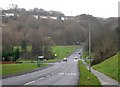
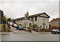
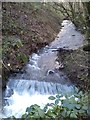

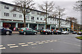
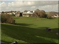
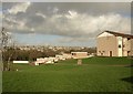
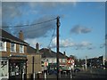
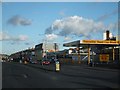
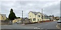
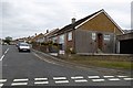
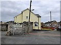
21 photos from this area
Area Information
Key information about the PL5 3NL including its size, population, and administrative classification.
- Area Type
- Postcode
- Area Size
- 7007 m²
- Population
- 1709
- Population Density
- 3463 people/km²
House Prices in PL5 3NL
11
Properties
£166,071
Average Sold Price
£72,000
Lowest Price
£380,000
Highest Price
Showing 11 properties
| Address | Type | Beds | Baths | Last Sale Price | Last Sale Date | |
|---|---|---|---|---|---|---|
| 273 Crownhill Road, Plymouth, PL5 3NL | Detached | 2 | 1 | £380,000 | Sep 2025 | |
| 261 Crownhill Road, Plymouth, PL5 3NL | Bungalow | 2 | 1 | £180,000 | Aug 2023 | |
| 275 Crownhill Road, Plymouth, PL5 3NL | Bungalow | 2 | 1 | £194,000 | Sep 2018 | |
| 275A Crownhill Road, Plymouth, PL5 3NL | Bungalow | 2 | - | £130,000 | Apr 2011 | |
| 271 Crownhill Road, Plymouth, PL5 3NL | Bungalow | 2 | 1 | £113,500 | Sep 2001 | |
| 259 Crownhill Road, Plymouth, PL5 3NL | Bungalow | 2 | - | £93,000 | Jul 2001 | |
| 277 Crownhill Road, Plymouth, PL5 3NL | Bungalow | - | - | £72,000 | Apr 2000 | |
| 269 Crownhill Road, Plymouth, PL5 3NL | Semi-detached | - | - | - | - | |
| 257 Crownhill Road, Plymouth, PL5 3NL | Detached | - | - | - | - | |
| 267 Crownhill Road, Plymouth, PL5 3NL | Detached | - | - | - | - |
Page 1 of 2
Energy Efficiency in PL5 3NL
Amenities
Schools
| Rank | School | Type | Entry gender | Ages |
|---|
Explore more schools in this area
Go to Schools tabDemographics
Household Size
Two person
most common
Accommodation Type
Houses
most common
Tenure
60
majority
Ethnic Group
White
most common
Religion
N/A
most common
Household Composition
N/A
most common
Age
47
median
Adults (30-64 years)
most common
Household Deprivation
N/A
with no deprivation
NS-SEC
24
in Lower managerial occupations
Explore more demographic insights in this area
Go to Demographics tabPlanning
Planning Constraints
- Flood RiskPremium
- Ramsar Wetland SitesPremium
- Area of Outstanding Natural BeautyPremium
- Protected Nature ReservePremium
- Protected WoodlandPremium