Area Overview for PL5 2EY
Photos of PL5 2EY
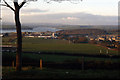
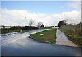
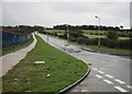
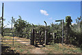
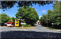
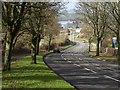
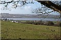
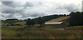
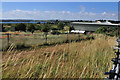
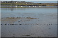
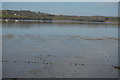
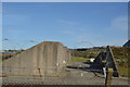
12 photos from this area
Area Information
Key information about the PL5 2EY including its size, population, and administrative classification.
- Area Type
- Postcode
- Area Size
- 59.6 hectares
- Population
- 1632
- Population Density
- 1523 people/km²
House Prices in PL5 2EY
12
Properties
£159,400
Average Sold Price
£70,000
Lowest Price
£240,000
Highest Price
Showing 12 properties
| Address | Type | Beds | Baths | Last Sale Price | Last Sale Date | |
|---|---|---|---|---|---|---|
| Kenmore, 5 Ernesettle Lane, Plymouth, PL5 2EY | Bungalow | 1 | 1 | £170,000 | Jul 2023 | |
| Elite, 7 Ernesettle Lane, Plymouth, PL5 2EY | Bungalow | - | - | £240,000 | Dec 2021 | |
| Henly, 17 Ernesettle Lane, Plymouth, PL5 2EY | Bungalow | 2 | - | £150,000 | Jul 2015 | |
| Tremar, 3 Ernesettle Lane, Plymouth, PL5 2EY | Bungalow | 3 | - | £167,000 | Feb 2014 | |
| Moor View, 9 Ernesettle Lane, Plymouth, PL5 2EY | Detached | - | - | £70,000 | Feb 1995 | |
| Alpha, 21 Ernesettle Lane, Plymouth, PL5 2EY | Bungalow | 3 | 1 | - | - | |
| Bella Vista, 1 Ernesettle Lane, Plymouth, PL5 2EY | Bungalow | 2 | - | - | - | |
| Beta, 23 Ernesettle Lane, Plymouth, PL5 2EY | Semi-detached | 3 | - | - | - | |
| Greenbank, 15 Ernesettle Lane, Plymouth, PL5 2EY | Bungalow | 3 | - | - | - | |
| 20 Ernesettle Lane, Plymouth, PL5 2EY | Retirement | - | - | - | - |
Page 1 of 2
Energy Efficiency in PL5 2EY
Amenities
Schools
| Rank | School | Type | Entry gender | Ages |
|---|
Explore more schools in this area
Go to Schools tabDemographics
Household Size
Two person
most common
Accommodation Type
Houses
most common
Tenure
39
majority
Ethnic Group
White
most common
Religion
N/A
most common
Household Composition
N/A
most common
Age
47
median
Adults (30-64 years)
most common
Household Deprivation
N/A
with no deprivation
NS-SEC
16
in Lower managerial occupations
Explore more demographic insights in this area
Go to Demographics tabPlanning
Planning Constraints
- Flood RiskPremium
- Ramsar Wetland SitesPremium
- Area of Outstanding Natural BeautyPremium
- Protected Nature ReservePremium
- Protected WoodlandPremium