Area Overview for PL4 8FD
Photos of PL4 8FD
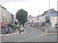
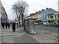

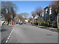
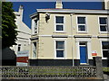
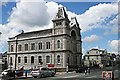
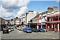
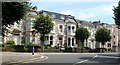
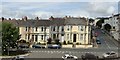
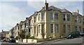
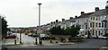
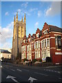
100 photos from this area
Area Information
Key information about the PL4 8FD including its size, population, and administrative classification.
- Area Type
- Postcode
- Area Size
- 1508 m²
- Population
- 1850
- Population Density
- 15533 people/km²
House Prices in PL4 8FD
8
Properties
£152,857
Average Sold Price
£100,000
Lowest Price
£180,000
Highest Price
Showing 8 properties
| Address | Type | Beds | Baths | Last Sale Price | Last Sale Date | |
|---|---|---|---|---|---|---|
| 16 Thomas Lane, Plymouth, PL4 8FD | Flat | 2 | 1 | £125,000 | Oct 2016 | |
| 22 Thomas Lane, Plymouth, PL4 8FD | Maisonette | - | - | £100,000 | Oct 2016 | |
| 18 Thomas Lane, Plymouth, PL4 8FD | Terraced | 2 | 1 | £180,000 | Oct 2016 | |
| 24 Thomas Lane, Plymouth, PL4 8FD | Bungalow | 2 | 1 | £150,000 | Sep 2016 | |
| 28 Thomas Lane, Plymouth, PL4 8FD | Terraced | 2 | 2 | £175,000 | Sep 2016 | |
| 20 Thomas Lane, Plymouth, PL4 8FD | Retail | 2 | 1 | £175,000 | Aug 2016 | |
| 26 Thomas Lane, Plymouth, PL4 8FD | Flat | 2 | 1 | £165,000 | Aug 2016 | |
| Southview (former), Woodside, Plymouth, PL4 8FD | Detached | 17 | - | - | - |
Energy Efficiency in PL4 8FD
Amenities
Schools
| Rank | School | Type | Entry gender | Ages |
|---|
Explore more schools in this area
Go to Schools tabDemographics
Household Size
One person
most common
Accommodation Type
Flats
most common
Tenure
17
majority
Ethnic Group
White
most common
Religion
N/A
most common
Household Composition
N/A
most common
Age
22
median
Young Adults (15-29 years)
most common
Household Deprivation
N/A
with no deprivation
NS-SEC
17
in Lower managerial occupations
Explore more demographic insights in this area
Go to Demographics tabPlanning
Planning Constraints
- Flood RiskPremium
- Ramsar Wetland SitesPremium
- Area of Outstanding Natural BeautyPremium
- Protected Nature ReservePremium
- Protected WoodlandPremium