Area Overview for PL35 0DP
Photos of PL35 0DP
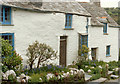
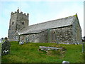
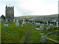
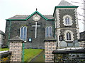
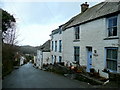
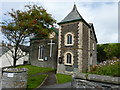
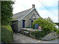
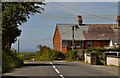
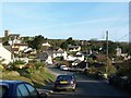
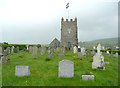

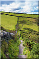
71 photos from this area
Area Information
Key information about the PL35 0DP including its size, population, and administrative classification.
- Area Type
- Postcode
- Area Size
- 1.3 hectares
- Population
- 2249
- Population Density
- 35 people/km²
House Prices in PL35 0DP
11
Properties
£228,625
Average Sold Price
£80,000
Lowest Price
£520,000
Highest Price
Showing 11 properties
| Address | Type | Beds | Baths | Last Sale Price | Last Sale Date | |
|---|---|---|---|---|---|---|
| Fairview, Green Lane, Boscastle, PL35 0DP | Bungalow | 2 | 1 | £520,000 | Jun 2025 | |
| Selwood, Green Lane, Boscastle, PL35 0DP | Bungalow | - | - | £355,000 | Feb 2018 | |
| Fallow Fields, Green Lane, Boscastle, PL35 0DP | Bungalow | - | - | £180,000 | Mar 2014 | |
| Chargwyn, Green Lane, Boscastle, PL35 0DP | Bungalow | 3 | 2 | £200,000 | Jul 2009 | |
| Cylena, Green Lane, Boscastle, PL35 0DP | Detached | - | - | £200,000 | Mar 2006 | |
| Polsarna, Green Lane, Boscastle, PL35 0DP | Bungalow | - | - | £190,000 | Nov 2002 | |
| Pengalion, Green Lane, Boscastle, PL35 0DP | Detached | - | - | £104,000 | Jun 2001 | |
| Aeolus, Green Lane, Boscastle, PL35 0DP | Detached | 3 | 2 | £80,000 | Jan 1996 | |
| Trethelly, Green Lane, Boscastle, PL35 0DP | Bungalow | 3 | 2 | - | - | |
| Long Meadow, Green Lane, Boscastle, PL35 0DP | Detached | - | - | - | - |
Page 1 of 2
Energy Efficiency in PL35 0DP
Amenities
Schools
| Rank | School | Type | Entry gender | Ages |
|---|
Explore more schools in this area
Go to Schools tabDemographics
Household Size
Two person
most common
Accommodation Type
Houses
most common
Tenure
78
majority
Ethnic Group
White
most common
Religion
N/A
most common
Household Composition
N/A
most common
Age
47
median
Adults (30-64 years)
most common
Household Deprivation
N/A
with no deprivation
NS-SEC
29
in Lower managerial occupations
Explore more demographic insights in this area
Go to Demographics tabPlanning
Planning Constraints
- Flood RiskPremium
- Ramsar Wetland SitesPremium
- Area of Outstanding Natural BeautyPremium
- Protected Nature ReservePremium
- Protected WoodlandPremium