Area Overview for PL27 7HP
Photos of PL27 7HP
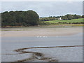
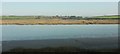
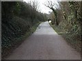


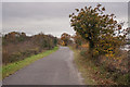
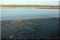
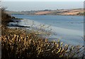
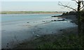
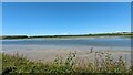
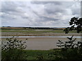
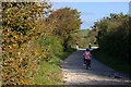
15 photos from this area
Area Information
Key information about the PL27 7HP including its size, population, and administrative classification.
- Area Type
- Postcode
- Area Size
- 63.0 hectares
- Population
- 1297
- Population Density
- 25 people/km²
House Prices in PL27 7HP
34
Properties
£435,454
Average Sold Price
£59,950
Lowest Price
£1,097,000
Highest Price
Showing 34 properties
| Address | Type | Beds | Baths | Last Sale Price | Last Sale Date | |
|---|---|---|---|---|---|---|
| Tall Trees, Trevanson Road, Wadebridge, PL27 7HP | Detached | 4 | 4 | £1,097,000 | Feb 2025 | |
| Bay Cottage, Trevanson Road, Wadebridge, PL27 7HP | Detached | 3 | - | £580,000 | Mar 2024 | |
| The Old Dairy, Trevanson Road, Wadebridge, PL27 7HP | Detached | 5 | 3 | £925,000 | Sep 2021 | |
| The Old House, Trevanson Road, Wadebridge, PL27 7HP | house | - | - | £500,000 | May 2021 | |
| The Orchard, Access To Cottages From Trevanson Road, Wadebridge, PL27 7HP | Detached | 5 | 3 | £627,000 | Dec 2020 | |
| The Barn, Trevanson Road, Wadebridge, PL27 7HP | Semi-detached | 4 | 2 | £452,000 | Apr 2018 | |
| Trehane, Trevanson Road, Wadebridge, PL27 7HP | Detached | 4 | - | £450,000 | Sep 2016 | |
| Godrevey, Trevanson Road, Wadebridge, PL27 7HP | Detached | 3 | - | £357,000 | May 2015 | |
| Catherine House, Access To Cottages From Trevanson Road, Wadebridge, PL27 7HP | Bungalow | - | - | £318,000 | Jun 2006 | |
| Tommy Ellers, Trevanson Road, Wadebridge, PL27 7HP | Semi-detached | - | - | £69,950 | Jan 2000 |
Page 1 of 4
Energy Efficiency in PL27 7HP
Amenities
Schools
| Rank | School | Type | Entry gender | Ages |
|---|
Explore more schools in this area
Go to Schools tabDemographics
Household Size
Two person
most common
Accommodation Type
Houses
most common
Tenure
68
majority
Ethnic Group
White
most common
Religion
N/A
most common
Household Composition
N/A
most common
Age
47
median
Adults (30-64 years)
most common
Household Deprivation
N/A
with no deprivation
NS-SEC
35
in Lower managerial occupations
Explore more demographic insights in this area
Go to Demographics tabPlanning
Planning Constraints
- Flood RiskPremium
- Ramsar Wetland SitesPremium
- Area of Outstanding Natural BeautyPremium
- Protected Nature ReservePremium
- Protected WoodlandPremium