Area Overview for PL27 6QH
Photos of PL27 6QH
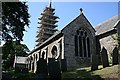
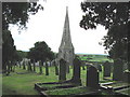
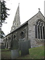
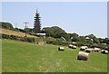
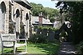
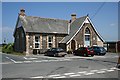
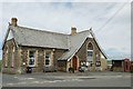
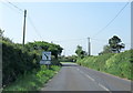
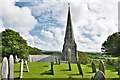
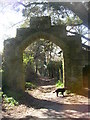
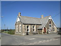
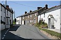
18 photos from this area
Area Information
Key information about the PL27 6QH including its size, population, and administrative classification.
- Area Type
- Postcode
- Area Size
- 28.6 hectares
- Population
- 2041
- Population Density
- 66 people/km²
House Prices in PL27 6QH
24
Properties
£420,000
Average Sold Price
£200,000
Lowest Price
£705,000
Highest Price
Showing 24 properties
| Address | Type | Beds | Baths | Last Sale Price | Last Sale Date | |
|---|---|---|---|---|---|---|
| Hillcrest, Church Town Hill, St Minver, Wadebridge, PL27 6QH | Cottage | 3 | 2 | £705,000 | Mar 2025 | |
| Penmeneth, Church Town Road, St Minver, Wadebridge, PL27 6QH | Bungalow | 4 | 1 | £700,000 | Sep 2021 | |
| Trebeth, Church Town Road, St Minver, Wadebridge, PL27 6QH | Detached | 2 | 2 | £680,000 | Sep 2021 | |
| Churchtown Cottage, Church Town Hill, St Minver, Wadebridge, PL27 6QH | Detached | 3 | 1 | £275,000 | Oct 2019 | |
| Churchtown Farm, Church Town Hill, St Minver, Wadebridge, PL27 6QH | house | - | - | £380,000 | Nov 2017 | |
| Stone Cottage, Church Town Road, St Minver, Wadebridge, PL27 6QH | Terraced | 2 | 1 | £200,000 | Sep 2015 | |
| Old Forge Cottage, Church Town Road, St Minver, Wadebridge, PL27 6QH | Cottage | 3 | 1 | £220,000 | May 2014 | |
| The Cottage, Church Town Hill, St Minver, Wadebridge, PL27 6QH | Cottage | 3 | 3 | £200,000 | May 2013 | |
| Little Fourways, Church Town Road, St Minver, Wadebridge, PL27 6QH | Detached | 4 | 4 | - | - | |
| Pentire, Church Town Hill, St Minver, Wadebridge, PL27 6QH | Detached | 3 | 2 | - | - |
Page 1 of 3
Energy Efficiency in PL27 6QH
Amenities
Schools
| Rank | School | Type | Entry gender | Ages |
|---|
Explore more schools in this area
Go to Schools tabDemographics
Household Size
Two person
most common
Accommodation Type
Houses
most common
Tenure
65
majority
Ethnic Group
White
most common
Religion
N/A
most common
Household Composition
N/A
most common
Age
47
median
Adults (30-64 years)
most common
Household Deprivation
N/A
with no deprivation
NS-SEC
35
in Lower managerial occupations
Explore more demographic insights in this area
Go to Demographics tabPlanning
Planning Constraints
- Flood RiskPremium
- Ramsar Wetland SitesPremium
- Area of Outstanding Natural BeautyPremium
- Protected Nature ReservePremium
- Protected WoodlandPremium