Area Overview for PL26 8QP
Photos of PL26 8QP
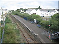
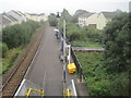
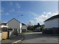
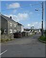
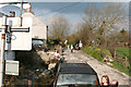
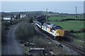
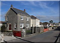
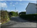
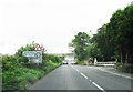
12 photos from this area
Area Information
Key information about the PL26 8QP including its size, population, and administrative classification.
- Area Type
- Postcode
- Area Size
- 5.9 hectares
- Population
- 2160
- Population Density
- 629 people/km²
House Prices in PL26 8QP
45
Properties
£216,975
Average Sold Price
£30,000
Lowest Price
£370,000
Highest Price
Showing 45 properties
| Address | Type | Beds | Baths | Last Sale Price | Last Sale Date | |
|---|---|---|---|---|---|---|
| Rivendell, Red Lane, Bugle, PL26 8QP | Detached | 3 | 2 | £297,000 | Sep 2023 | |
| Brooklands, Red Lane, Bugle, PL26 8QP | Detached | 4 | 2 | £355,500 | May 2022 | |
| Former Little Burwood, Red Lane, Bugle, PL26 8QP | Land | - | - | £370,000 | May 2021 | |
| Springdale, Red Lane, Bugle, PL26 8QP | Bungalow | - | - | £310,000 | Mar 2021 | |
| Rambling Rose, Red Lane, Bugle, PL26 8QP | Detached | 4 | - | £320,000 | Mar 2021 | |
| Little Crinnicks, Red Lane, Bugle, PL26 8QP | Bungalow | 2 | 1 | £169,950 | Jan 2017 | |
| Fairways, Red Lane, Bugle, PL26 8QP | Bungalow | 3 | - | £205,000 | Dec 2016 | |
| Whispering Pines, Red Lane, Bugle, PL26 8QP | Detached | 4 | - | £173,501 | Aug 2016 | |
| 1, Pendennis Court, Red Lane, Bugle, PL26 8QP | Terraced | 3 | - | £137,000 | May 2015 | |
| Springfield, Red Lane, Bugle, PL26 8QP | Bungalow | 3 | 1 | £210,000 | Apr 2007 |
Page 1 of 5
Energy Efficiency in PL26 8QP
Amenities
Schools
| Rank | School | Type | Entry gender | Ages |
|---|
Explore more schools in this area
Go to Schools tabDemographics
Household Size
Two person
most common
Accommodation Type
Houses
most common
Tenure
57
majority
Ethnic Group
White
most common
Religion
N/A
most common
Household Composition
N/A
most common
Age
47
median
Adults (30-64 years)
most common
Household Deprivation
N/A
with no deprivation
NS-SEC
16
in Lower managerial occupations
Explore more demographic insights in this area
Go to Demographics tabPlanning
Planning Constraints
- Flood RiskPremium
- Ramsar Wetland SitesPremium
- Area of Outstanding Natural BeautyPremium
- Protected Nature ReservePremium
- Protected WoodlandPremium