Area Overview for PL26 7NN
Photos of PL26 7NN
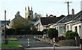
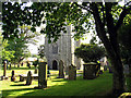
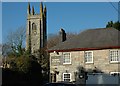
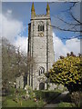
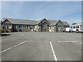
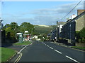
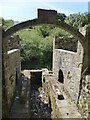
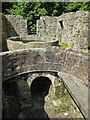
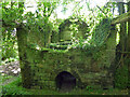
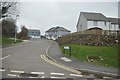
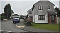
24 photos from this area
Area Information
Key information about the PL26 7NN including its size, population, and administrative classification.
- Area Type
- Postcode
- Area Size
- 1.8 hectares
- Population
- 1498
- Population Density
- 2358 people/km²
House Prices in PL26 7NN
31
Properties
£157,747
Average Sold Price
£39,450
Lowest Price
£510,000
Highest Price
Showing 31 properties
| Address | Type | Beds | Baths | Last Sale Price | Last Sale Date | |
|---|---|---|---|---|---|---|
| Shambles Cottage, 23 Fore Street, St Stephen, PL26 7NN | Cottage | 2 | 1 | £187,500 | Mar 2025 | |
| 7 Fore Street, St Stephen, PL26 7NN | Terraced | 3 | 1 | £175,000 | Jul 2022 | |
| 17 Fore Street, St Stephen, PL26 7NN | house | - | - | £200,000 | Jan 2021 | |
| 10 Fore Street, St Stephen, PL26 7NN | Terraced | 3 | - | £155,000 | Dec 2020 | |
| 20 Fore Street, St Stephen, PL26 7NN | house | 4 | - | £280,000 | Nov 2020 | |
| Danlea, Fore Street, St Stephen, PL26 7NN | Semi-detached | - | - | £510,000 | Jul 2019 | |
| 1 Fore Street, St Stephen, PL26 7NN | Terraced | 3 | 1 | £127,000 | Nov 2017 | |
| 19 Fore Street, St Stephen, PL26 7NN | Terraced | 2 | 1 | £124,000 | Jun 2017 | |
| 14 Fore Street, St Stephen, PL26 7NN | Semi-detached | 2 | 1 | £117,000 | Dec 2016 | |
| 8 Fore Street, St Stephen, PL26 7NN | Terraced | 2 | - | £92,000 | Jan 2015 |
Page 1 of 4
Energy Efficiency in PL26 7NN
Amenities
Schools
| Rank | School | Type | Entry gender | Ages |
|---|
Explore more schools in this area
Go to Schools tabDemographics
Household Size
Two person
most common
Accommodation Type
Houses
most common
Tenure
63
majority
Ethnic Group
White
most common
Religion
N/A
most common
Household Composition
N/A
most common
Age
47
median
Adults (30-64 years)
most common
Household Deprivation
N/A
with no deprivation
NS-SEC
22
in Lower managerial occupations
Explore more demographic insights in this area
Go to Demographics tabPlanning
Planning Constraints
- Flood RiskPremium
- Ramsar Wetland SitesPremium
- Area of Outstanding Natural BeautyPremium
- Protected Nature ReservePremium
- Protected WoodlandPremium