Area Overview for PL22 0LH
Photos of PL22 0LH
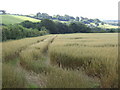
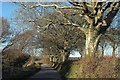
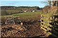
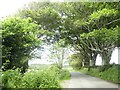
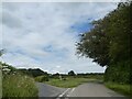
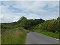
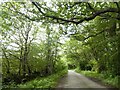
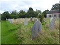
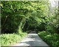
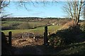
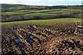
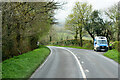
12 photos from this area
Area Information
Key information about the PL22 0LH including its size, population, and administrative classification.
- Area Type
- Postcode
- Area Size
- 79.5 hectares
- Population
- 1603
- Population Density
- 116 people/km²
House Prices in PL22 0LH
9
Properties
£236,250
Average Sold Price
£35,000
Lowest Price
£450,000
Highest Price
Showing 9 properties
| Address | Type | Beds | Baths | Last Sale Price | Last Sale Date | |
|---|---|---|---|---|---|---|
| Hawksbill Farm, Road From South Of Bareppa To Winnow Mill, Lostwithiel, PL22 0LH | Detached | - | - | £450,000 | Feb 2021 | |
| Sandylake Cottage, Grenville Road, Lostwithiel, PL22 0LH | house | - | - | £190,000 | Jun 2008 | |
| Hartswell Marsh Cottage, Access To Hartswell Marsh Cottage, Lostwithiel, PL22 0LH | Detached | 6 | 5 | £270,000 | May 2006 | |
| Sheila's Cottage, Grenville Road, Lostwithiel, PL22 0LH | Semi-detached | - | - | £35,000 | Feb 1995 | |
| Storage Unit, Colle Beacon, Access To Colle Beacon, Lostwithiel, PL22 0LH | warehouse | - | - | - | - | |
| The Annexe, Colle Beacon, Access To Colle Beacon, Lostwithiel, PL22 0LH | Flat | - | - | - | - | |
| Lostwithiel Lodge, Road From South Of Bareppa To Winnow Mill, Lostwithiel, PL22 0LH | Detached | - | - | - | - | |
| Atkinsons Service Station, A 390 Between Junction North Of Trewindle And Grenville Road, Lostwithiel, PL22 0LH | house | - | - | - | - | |
| Colle Beacon, Access To Colle Beacon, Lostwithiel, PL22 0LH | Detached | - | - | - | - |
Energy Efficiency in PL22 0LH
Amenities
Schools
| Rank | School | Type | Entry gender | Ages |
|---|
Explore more schools in this area
Go to Schools tabDemographics
Household Size
Two person
most common
Accommodation Type
Houses
most common
Tenure
68
majority
Ethnic Group
White
most common
Religion
N/A
most common
Household Composition
N/A
most common
Age
47
median
Adults (30-64 years)
most common
Household Deprivation
N/A
with no deprivation
NS-SEC
30
in Lower managerial occupations
Explore more demographic insights in this area
Go to Demographics tabPlanning
Planning Constraints
- Flood RiskPremium
- Ramsar Wetland SitesPremium
- Area of Outstanding Natural BeautyPremium
- Protected Nature ReservePremium
- Protected WoodlandPremium