Area Overview for PL20 6NB
Photos of PL20 6NB
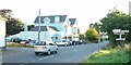
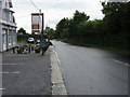
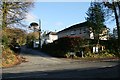
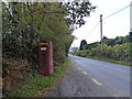
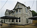
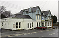
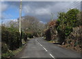
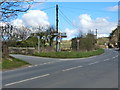
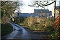
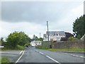
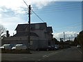
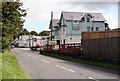
13 photos from this area
Area Information
Key information about the PL20 6NB including its size, population, and administrative classification.
- Area Type
- Postcode
- Area Size
- 4.9 hectares
- Population
- 1425
- Population Density
- 24 people/km²
House Prices in PL20 6NB
32
Properties
£279,905
Average Sold Price
£83,000
Lowest Price
£450,000
Highest Price
Showing 32 properties
| Address | Type | Beds | Baths | Last Sale Price | Last Sale Date | |
|---|---|---|---|---|---|---|
| Laurels, Woodlands, Dousland, PL20 6NB | Bungalow | 2 | 2 | £415,000 | Sep 2024 | |
| Westmorland, Woodlands, Dousland, PL20 6NB | Bungalow | 3 | 1 | £450,000 | Jun 2024 | |
| Glenhaven, Woodlands, Dousland, PL20 6NB | Bungalow | - | - | £400,000 | Mar 2024 | |
| Creswell, Woodlands, Dousland, PL20 6NB | Bungalow | - | - | £365,000 | Feb 2021 | |
| Sunningdale, Woodlands, Dousland, PL20 6NB | Bungalow | - | - | £410,000 | Dec 2020 | |
| Brig O Doon, Woodlands, Dousland, PL20 6NB | Bungalow | 3 | 1 | £400,000 | Aug 2019 | |
| Briardale, Woodlands, Dousland, PL20 6NB | Bungalow | - | - | £329,500 | Aug 2019 | |
| The Glade, Woodlands, Dousland, PL20 6NB | Bungalow | - | - | £385,000 | Mar 2019 | |
| The Coppice, Woodlands, Dousland, PL20 6NB | house | - | - | £410,000 | Nov 2017 | |
| Springfield, 28 Woodlands, Dousland, PL20 6NB | Bungalow | 2 | 1 | £300,000 | Aug 2017 |
Page 1 of 4
Energy Efficiency in PL20 6NB
Amenities
Schools
| Rank | School | Type | Entry gender | Ages |
|---|
Explore more schools in this area
Go to Schools tabDemographics
Household Size
Two person
most common
Accommodation Type
Houses
most common
Tenure
86
majority
Ethnic Group
White
most common
Religion
N/A
most common
Household Composition
N/A
most common
Age
47
median
Adults (30-64 years)
most common
Household Deprivation
N/A
with no deprivation
NS-SEC
42
in Lower managerial occupations
Explore more demographic insights in this area
Go to Demographics tabPlanning
Planning Constraints
- Flood RiskPremium
- Ramsar Wetland SitesPremium
- Area of Outstanding Natural BeautyPremium
- Protected Nature ReservePremium
- Protected WoodlandPremium