Area Overview for PL20 6JS
Photos of PL20 6JS
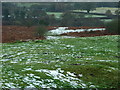
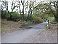
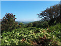
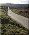
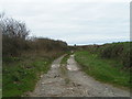
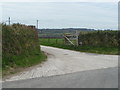
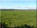
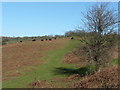
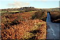
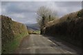
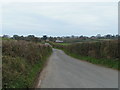
14 photos from this area
Area Information
Key information about the PL20 6JS including its size, population, and administrative classification.
- Area Type
- Postcode
- Area Size
- 31.9 hectares
- Population
- 1425
- Population Density
- 24 people/km²
House Prices in PL20 6JS
24
Properties
£203,843
Average Sold Price
£71,000
Lowest Price
£285,000
Highest Price
Showing 24 properties
| Address | Type | Beds | Baths | Last Sale Price | Last Sale Date | |
|---|---|---|---|---|---|---|
| 19 Church View, Walkhampton, PL20 6JS | Terraced | 3 | 1 | £276,000 | Jul 2024 | |
| 16 Church View, Walkhampton, PL20 6JS | house | - | - | £285,000 | Feb 2023 | |
| 12 Church View, Walkhampton, PL20 6JS | house | - | - | £245,000 | Jan 2021 | |
| 15 Church View, Walkhampton, PL20 6JS | house | - | - | £185,000 | Oct 2018 | |
| 2 Church View, Walkhampton, PL20 6JS | Cottage | 3 | 1 | £257,000 | Jun 2017 | |
| 24 Church View, Walkhampton, PL20 6JS | house | - | - | £205,277 | Mar 2017 | |
| 4 Church View, Walkhampton, PL20 6JS | house | 3 | - | £160,000 | Dec 2013 | |
| 7 Church View, Walkhampton, PL20 6JS | house | - | - | £159,000 | Dec 2009 | |
| 6 Church View, Walkhampton, PL20 6JS | Terraced | - | - | £182,000 | Mar 2008 | |
| 10 Church View, Walkhampton, PL20 6JS | house | - | - | £217,000 | Jul 2005 |
Page 1 of 3
Energy Efficiency in PL20 6JS
Amenities
Schools
| Rank | School | Type | Entry gender | Ages |
|---|
Explore more schools in this area
Go to Schools tabDemographics
Household Size
Two person
most common
Accommodation Type
Houses
most common
Tenure
86
majority
Ethnic Group
White
most common
Religion
N/A
most common
Household Composition
N/A
most common
Age
47
median
Adults (30-64 years)
most common
Household Deprivation
N/A
with no deprivation
NS-SEC
42
in Lower managerial occupations
Explore more demographic insights in this area
Go to Demographics tabPlanning
Planning Constraints
- Flood RiskPremium
- Ramsar Wetland SitesPremium
- Area of Outstanding Natural BeautyPremium
- Protected Nature ReservePremium
- Protected WoodlandPremium