Area Overview for PL20 6EN
Photos of PL20 6EN
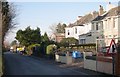
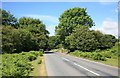


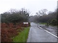
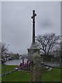
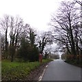
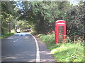
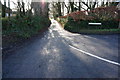
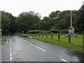
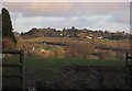
11 photos from this area
Area Information
Key information about the PL20 6EN including its size, population, and administrative classification.
- Area Type
- Postcode
- Area Size
- 21.7 hectares
- Population
- 1613
- Population Density
- 121 people/km²
House Prices in PL20 6EN
16
Properties
£501,119
Average Sold Price
£312,730
Lowest Price
£830,000
Highest Price
Showing 16 properties
| Address | Type | Beds | Baths | Last Sale Price | Last Sale Date | |
|---|---|---|---|---|---|---|
| Whistleigh Farm, Whistley Down, Yelverton, PL20 6EN | Detached | 7 | 6 | £830,000 | Nov 2020 | |
| Kinterbury Cottage, Whistley Down, Yelverton, PL20 6EN | Bungalow | - | - | £312,730 | Oct 2020 | |
| Westway, Whistley Down, Yelverton, PL20 6EN | Bungalow | - | - | £462,100 | Aug 2020 | |
| Little Field, Whistley Down, Yelverton, PL20 6EN | Bungalow | - | - | £458,000 | Apr 2019 | |
| Penhallow, Whistley Down, Yelverton, PL20 6EN | Bungalow | - | - | £500,000 | Jan 2019 | |
| Greystones, Whistley Down, Yelverton, PL20 6EN | Bungalow | - | - | £470,000 | Jan 2018 | |
| Briony, Whistley Down, Yelverton, PL20 6EN | Detached | 4 | 2 | £475,000 | Oct 2015 | |
| Trikernick, Whistley Down, Yelverton, PL20 6EN | Land | 3 | - | - | - | |
| Intake Barn, Whistleigh Farm, Whistley Down, Yelverton, PL20 6EN | hotel | - | - | - | - | |
| Snowdrops, Whistley Down, Yelverton, PL20 6EN | Detached | - | - | - | - |
Page 1 of 2
Energy Efficiency in PL20 6EN
Amenities
Schools
| Rank | School | Type | Entry gender | Ages |
|---|
Explore more schools in this area
Go to Schools tabDemographics
Household Size
Two person
most common
Accommodation Type
Houses
most common
Tenure
66
majority
Ethnic Group
White
most common
Religion
N/A
most common
Household Composition
N/A
most common
Age
47
median
Adults (30-64 years)
most common
Household Deprivation
N/A
with no deprivation
NS-SEC
41
in Lower managerial occupations
Explore more demographic insights in this area
Go to Demographics tabPlanning
Planning Constraints
- Flood RiskPremium
- Ramsar Wetland SitesPremium
- Area of Outstanding Natural BeautyPremium
- Protected Nature ReservePremium
- Protected WoodlandPremium