Area Overview for PL2 1JP
Photos of PL2 1JP
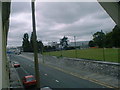
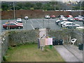
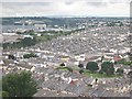
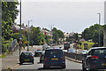
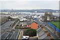
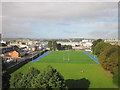
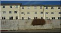
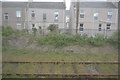
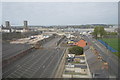
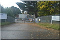
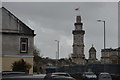
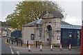
97 photos from this area
Area Information
Key information about the PL2 1JP including its size, population, and administrative classification.
- Area Type
- Postcode
- Area Size
- 1.5 hectares
- Population
- 1447
- Population Density
- 14228 people/km²
House Prices in PL2 1JP
77
Properties
£124,496
Average Sold Price
£46,500
Lowest Price
£240,000
Highest Price
Showing 77 properties
| Address | Type | Beds | Baths | Last Sale Price | Last Sale Date | |
|---|---|---|---|---|---|---|
| 279 St Levan Road, Plymouth, PL2 1JP | Terraced | 3 | 3 | £240,000 | Jan 2025 | |
| 1E Barton Avenue, Plymouth, PL2 1JP | Flat | - | - | £150,000 | Aug 2023 | |
| 275 St Levan Road, Plymouth, PL2 1JP | Terraced | - | - | £95,000 | Mar 2023 | |
| 324 St Levan Road, Plymouth, PL2 1JP | Flat | - | - | £113,000 | Nov 2022 | |
| 312 St Levan Road, Plymouth, PL2 1JP | Terraced | 3 | 1 | £140,000 | Mar 2022 | |
| 273 St Levan Road, Plymouth, PL2 1JP | Terraced | - | - | £87,000 | Apr 2019 | |
| 283 St Levan Road, Plymouth, PL2 1JP | Flat | - | - | £80,000 | May 2017 | |
| 289 St Levan Road, Plymouth, PL2 1JP | house | 3 | - | £139,950 | Jan 2013 | |
| 281 St Levan Road, Plymouth, PL2 1JP | Terraced | 4 | 2 | £127,500 | May 2006 | |
| 319 St Levan Road, Plymouth, PL2 1JP | Terraced | 4 | 2 | £152,000 | Mar 2006 |
Page 1 of 8
Energy Efficiency in PL2 1JP
Amenities
Schools
| Rank | School | Type | Entry gender | Ages |
|---|
Explore more schools in this area
Go to Schools tabDemographics
Household Size
One person
most common
Accommodation Type
Houses
most common
Tenure
56
majority
Ethnic Group
White
most common
Religion
N/A
most common
Household Composition
N/A
most common
Age
47
median
Adults (30-64 years)
most common
Household Deprivation
N/A
with no deprivation
NS-SEC
22
in Lower managerial occupations
Explore more demographic insights in this area
Go to Demographics tabPlanning
Planning Constraints
- Flood RiskPremium
- Ramsar Wetland SitesPremium
- Area of Outstanding Natural BeautyPremium
- Protected Nature ReservePremium
- Protected WoodlandPremium