Area Overview for PL19 9SA
Photos of PL19 9SA
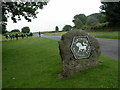
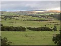
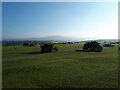
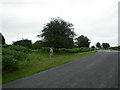
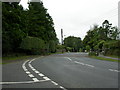
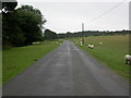
14 photos from this area
Area Information
Key information about the PL19 9SA including its size, population, and administrative classification.
- Area Type
- Postcode
- Area Size
- 7604 m²
- Population
- 1344
- Population Density
- 935 people/km²
House Prices in PL19 9SA
6
Properties
£412,667
Average Sold Price
£225,000
Lowest Price
£540,000
Highest Price
Showing 6 properties
| Address | Type | Beds | Baths | Last Sale Price | Last Sale Date | |
|---|---|---|---|---|---|---|
| 2 Bluebell Way, Tavistock, PL19 9SA | Bungalow | 3 | 2 | £485,000 | May 2024 | |
| Bracken, 4 Bluebell Way, Tavistock, PL19 9SA | Bungalow | - | - | £515,000 | Apr 2023 | |
| 1 Bluebell Way, Tavistock, PL19 9SA | Bungalow | - | - | £540,000 | Oct 2022 | |
| 8 Bluebell Way, Tavistock, PL19 9SA | Bungalow | 3 | - | £420,000 | Sep 2013 | |
| 6 Bluebell Way, Tavistock, PL19 9SA | Detached | 3 | - | £291,000 | Jun 2012 | |
| Moorpars, 3 Bluebell Way, Tavistock, PL19 9SA | Detached | - | - | £225,000 | Aug 2001 |
Energy Efficiency in PL19 9SA
Amenities
Schools
| Rank | School | Type | Entry gender | Ages |
|---|
Explore more schools in this area
Go to Schools tabDemographics
Household Size
Two person
most common
Accommodation Type
Houses
most common
Tenure
90
majority
Ethnic Group
White
most common
Religion
N/A
most common
Household Composition
N/A
most common
Age
47
median
Elderly (65+ years)
most common
Household Deprivation
N/A
with no deprivation
NS-SEC
48
in Lower managerial occupations
Explore more demographic insights in this area
Go to Demographics tabPlanning
Planning Constraints
- Flood RiskPremium
- Ramsar Wetland SitesPremium
- Area of Outstanding Natural BeautyPremium
- Protected Nature ReservePremium
- Protected WoodlandPremium