Area Overview for PL19 9BX
Photos of PL19 9BX
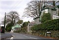
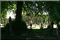
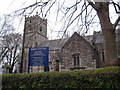
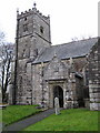
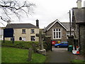
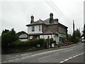
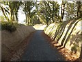
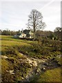
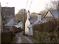
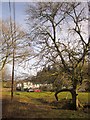
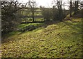
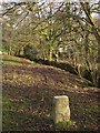
25 photos from this area
Area Information
Key information about the PL19 9BX including its size, population, and administrative classification.
- Area Type
- Postcode
- Area Size
- 5.8 hectares
- Population
- 1344
- Population Density
- 935 people/km²
House Prices in PL19 9BX
27
Properties
£301,563
Average Sold Price
£97,000
Lowest Price
£520,000
Highest Price
Showing 27 properties
| Address | Type | Beds | Baths | Last Sale Price | Last Sale Date | |
|---|---|---|---|---|---|---|
| 5 Newtake Road, Whitchurch, PL19 9BX | Detached | 4 | 3 | £520,000 | Jul 2024 | |
| 6 Newtake Road, Whitchurch, PL19 9BX | house | - | - | £400,000 | Jun 2022 | |
| 19 Newtake Road, Whitchurch, PL19 9BX | house | - | - | £440,000 | May 2021 | |
| 13 Newtake Road, Whitchurch, PL19 9BX | Detached | 4 | 2 | £330,000 | Nov 2020 | |
| 14 Newtake Road, Whitchurch, PL19 9BX | Detached | 3 | 2 | £340,000 | Sep 2019 | |
| 27 Newtake Road, Whitchurch, PL19 9BX | Detached | 4 | 2 | £340,500 | Apr 2017 | |
| The Hollies, 8 Newtake Road, Whitchurch, PL19 9BX | house | 4 | - | £300,000 | Dec 2016 | |
| 29 Newtake Road, Whitchurch, PL19 9BX | Detached | 4 | - | £329,950 | Apr 2014 | |
| 12 Newtake Road, Whitchurch, PL19 9BX | Detached | 4 | - | £259,000 | Sep 2013 | |
| 21 Newtake Road, Whitchurch, PL19 9BX | Detached | - | - | £325,000 | Feb 2006 |
Page 1 of 3
Energy Efficiency in PL19 9BX
Amenities
Schools
| Rank | School | Type | Entry gender | Ages |
|---|
Explore more schools in this area
Go to Schools tabDemographics
Household Size
Two person
most common
Accommodation Type
Houses
most common
Tenure
90
majority
Ethnic Group
White
most common
Religion
N/A
most common
Household Composition
N/A
most common
Age
47
median
Elderly (65+ years)
most common
Household Deprivation
N/A
with no deprivation
NS-SEC
48
in Lower managerial occupations
Explore more demographic insights in this area
Go to Demographics tabPlanning
Planning Constraints
- Flood RiskPremium
- Ramsar Wetland SitesPremium
- Area of Outstanding Natural BeautyPremium
- Protected Nature ReservePremium
- Protected WoodlandPremium