Area Overview for PL15 9AT
Photos of PL15 9AT
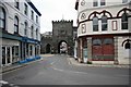
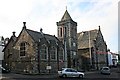
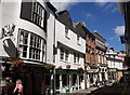
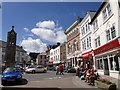
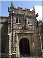
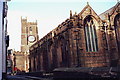
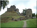
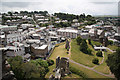
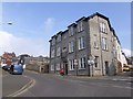
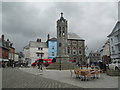
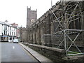
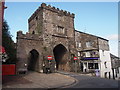
100 photos from this area
Area Information
Key information about the PL15 9AT including its size, population, and administrative classification.
- Area Type
- Postcode
- Area Size
- 8396 m²
- Population
- 1692
- Population Density
- 2414 people/km²
House Prices in PL15 9AT
21
Properties
£179,100
Average Sold Price
£132,000
Lowest Price
£250,000
Highest Price
Showing 21 properties
| Address | Type | Beds | Baths | Last Sale Price | Last Sale Date | |
|---|---|---|---|---|---|---|
| 11 Mount Wise, Launceston, PL15 9AT | Bungalow | 3 | 1 | £250,000 | Jul 2024 | |
| 10 Mount Wise, Launceston, PL15 9AT | house | 3 | - | £210,000 | Dec 2021 | |
| Alston, Mount Wise, Launceston, PL15 9AT | Bungalow | - | - | £168,000 | Jul 2021 | |
| 5 Mount Wise, Launceston, PL15 9AT | house | - | - | £174,000 | Dec 2020 | |
| 14 Mount Wise, Launceston, PL15 9AT | Flat | - | - | £135,000 | Nov 2018 | |
| Hele, Mount Wise, Launceston, PL15 9AT | Bungalow | 3 | - | £225,000 | Jul 2016 | |
| Parkside, Mount Wise, Launceston, PL15 9AT | Bungalow | 2 | - | £168,000 | Feb 2015 | |
| 7 Mount Wise, Launceston, PL15 9AT | Bungalow | 3 | - | £132,000 | Nov 2014 | |
| 8 Mount Wise, Launceston, PL15 9AT | Bungalow | 3 | - | £165,000 | May 2013 | |
| Fairviews, Mount Wise, Launceston, PL15 9AT | Bungalow | 2 | - | £164,000 | Mar 2011 |
Page 1 of 3
Energy Efficiency in PL15 9AT
Amenities
Schools
| Rank | School | Type | Entry gender | Ages |
|---|
Explore more schools in this area
Go to Schools tabDemographics
Household Size
One person
most common
Accommodation Type
Flats
most common
Tenure
47
majority
Ethnic Group
White
most common
Religion
N/A
most common
Household Composition
N/A
most common
Age
47
median
Adults (30-64 years)
most common
Household Deprivation
N/A
with no deprivation
NS-SEC
24
in Lower managerial occupations
Explore more demographic insights in this area
Go to Demographics tabPlanning
Planning Constraints
- Flood RiskPremium
- Ramsar Wetland SitesPremium
- Area of Outstanding Natural BeautyPremium
- Protected Nature ReservePremium
- Protected WoodlandPremium