Area Overview for PL14 5PG
Photos of PL14 5PG
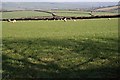
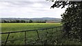
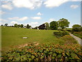
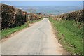
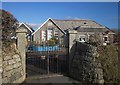
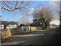
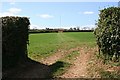
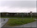
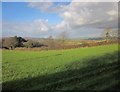
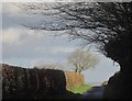
15 photos from this area
Area Information
Key information about the PL14 5PG including its size, population, and administrative classification.
- Area Type
- Postcode
- Area Size
- 7.7 hectares
- Population
- 2285
- Population Density
- 96 people/km²
House Prices in PL14 5PG
17
Properties
£293,500
Average Sold Price
£213,000
Lowest Price
£360,000
Highest Price
Showing 17 properties
| Address | Type | Beds | Baths | Last Sale Price | Last Sale Date | |
|---|---|---|---|---|---|---|
| Wheal Vor, School Road, Pensilva, PL14 5PG | Bungalow | 4 | 2 | £360,000 | Feb 2024 | |
| Vi La Ma, School Road, Pensilva, PL14 5PG | Bungalow | 2 | 1 | £213,000 | Feb 2019 | |
| Rivendale, School Road, Pensilva, PL14 5PG | Detached | 4 | - | £307,500 | Jul 2016 | |
| The Fairways, School Road, Pensilva, PL14 5PG | Bungalow | 3 | 2 | - | - | |
| Untuvidare, School Road, Pensilva, PL14 5PG | Detached | - | - | - | - | |
| Pensilva Pre-school, Pensilva Primary School, School Road, Pensilva, PL14 5PG | commercial | - | - | - | - | |
| Sports Hall And Changing Rooms, Pensilva Primary School, School Road, Pensilva, PL14 5PG | Leisure | - | - | - | - | |
| Glendowie Lodge, School Road, Pensilva, PL14 5PG | Detached | - | - | - | - | |
| Pensilva Breakfast Club, Pensilva Primary School, School Road, Pensilva, PL14 5PG | commercial | - | - | - | - | |
| Sabres, School Road, Pensilva, PL14 5PG | Bungalow | - | - | - | - |
Page 1 of 2
Energy Efficiency in PL14 5PG
Amenities
Schools
| Rank | School | Type | Entry gender | Ages |
|---|
Explore more schools in this area
Go to Schools tabDemographics
Household Size
Two person
most common
Accommodation Type
Houses
most common
Tenure
77
majority
Ethnic Group
White
most common
Religion
N/A
most common
Household Composition
N/A
most common
Age
47
median
Adults (30-64 years)
most common
Household Deprivation
N/A
with no deprivation
NS-SEC
28
in Lower managerial occupations
Explore more demographic insights in this area
Go to Demographics tabPlanning
Planning Constraints
- Flood RiskPremium
- Ramsar Wetland SitesPremium
- Area of Outstanding Natural BeautyPremium
- Protected Nature ReservePremium
- Protected WoodlandPremium