Area Overview for PL11 3HH
Photos of PL11 3HH
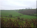
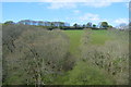
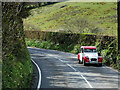
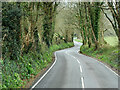
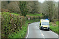
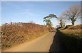
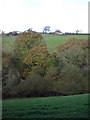
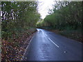


17 photos from this area
Area Information
Key information about the PL11 3HH including its size, population, and administrative classification.
- Area Type
- Postcode
- Area Size
- 17.7 hectares
- Population
- 2181
- Population Density
- 72 people/km²
House Prices in PL11 3HH
5
Properties
£264,983
Average Sold Price
£160,000
Lowest Price
£399,950
Highest Price
Showing 5 properties
| Address | Type | Beds | Baths | Last Sale Price | Last Sale Date | |
|---|---|---|---|---|---|---|
| Grassmere, A 387 Between Junction West Of Bickham And Bake Lane, Hessenford, PL11 3HH | Detached | 4 | - | £235,000 | Oct 2014 | |
| Hillside Cottage, A 387 Between Junction West Of Bickham And Bake Lane, Hessenford, PL11 3HH | Detached | - | - | £399,950 | Sep 2007 | |
| Primrose Cottage, A 387 Between Junction West Of Bickham And Bake Lane, Hessenford, PL11 3HH | Detached | - | - | £160,000 | Jul 2002 | |
| 2, Honeysuckle Cottage, Greenbank Cottages, A 387 Between Junction West Of Bickham And Bake Lane, Hessenford, PL11 3HH | Semi-detached | 2 | - | - | - | |
| 1, Greenbank Cottages, A 387 Between Junction West Of Bickham And Bake Lane, Hessenford, PL11 3HH | Semi-detached | - | - | - | - |
Energy Efficiency in PL11 3HH
Amenities
Schools
| Rank | School | Type | Entry gender | Ages |
|---|
Explore more schools in this area
Go to Schools tabDemographics
Household Size
Two person
most common
Accommodation Type
Houses
most common
Tenure
79
majority
Ethnic Group
White
most common
Religion
N/A
most common
Household Composition
N/A
most common
Age
47
median
Adults (30-64 years)
most common
Household Deprivation
N/A
with no deprivation
NS-SEC
46
in Lower managerial occupations
Explore more demographic insights in this area
Go to Demographics tabPlanning
Planning Constraints
- Flood RiskPremium
- Ramsar Wetland SitesPremium
- Area of Outstanding Natural BeautyPremium
- Protected Nature ReservePremium
- Protected WoodlandPremium