Area Overview for PL11 3AF
Photos of PL11 3AF
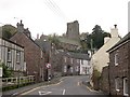
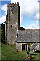
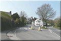
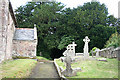
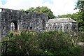
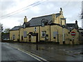
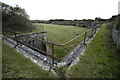
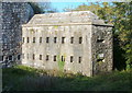
29 photos from this area
Area Information
Key information about the PL11 3AF including its size, population, and administrative classification.
- Area Type
- Postcode
- Area Size
- 3746 m²
- Population
- 1735
- Population Density
- 76 people/km²
House Prices in PL11 3AF
10
Properties
£259,333
Average Sold Price
£172,500
Lowest Price
£362,500
Highest Price
Showing 10 properties
| Address | Type | Beds | Baths | Last Sale Price | Last Sale Date | |
|---|---|---|---|---|---|---|
| The Sawyers, Antony Hill, Antony, PL11 3AF | Detached | 3 | 2 | £362,500 | Dec 2022 | |
| Ye Olde Post Office, Antony Hill, Antony, PL11 3AF | Cottage | 3 | 2 | £310,000 | Jul 2017 | |
| Pencarne, Antony Hill, Antony, PL11 3AF | Cottage | 3 | 1 | £172,500 | Mar 2014 | |
| The Cottage, Antony Hill, Antony, PL11 3AF | Detached | 3 | 2 | £245,000 | Nov 2011 | |
| North House, Antony Hill, Antony, PL11 3AF | Cottage | 2 | - | £283,000 | Dec 2010 | |
| 1, Lynher View, Antony Hill, Antony, PL11 3AF | Semi-detached | 3 | 1 | £183,000 | May 2007 | |
| The Barn, North House, Antony Hill, Antony, PL11 3AF | Flat | - | - | - | - | |
| Tiny Cottage, Antony Hill, Antony, PL11 3AF | house | 1 | - | - | - | |
| 2, Lynher View, Antony Hill, Antony, PL11 3AF | Semi-detached | - | - | - | - | |
| 4, Lynher View, Antony Hill, Antony, PL11 3AF | Bungalow | - | - | - | - |
Energy Efficiency in PL11 3AF
Amenities
Schools
| Rank | School | Type | Entry gender | Ages |
|---|
Explore more schools in this area
Go to Schools tabDemographics
Household Size
Two person
most common
Accommodation Type
Houses
most common
Tenure
71
majority
Ethnic Group
White
most common
Religion
N/A
most common
Household Composition
N/A
most common
Age
47
median
Adults (30-64 years)
most common
Household Deprivation
N/A
with no deprivation
NS-SEC
39
in Lower managerial occupations
Explore more demographic insights in this area
Go to Demographics tabPlanning
Planning Constraints
- Flood RiskPremium
- Ramsar Wetland SitesPremium
- Area of Outstanding Natural BeautyPremium
- Protected Nature ReservePremium
- Protected WoodlandPremium