Area Overview for PL10 1AW
Photos of PL10 1AW
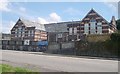
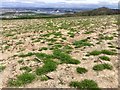
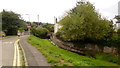
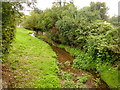


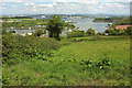
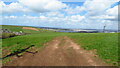
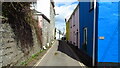

19 photos from this area
Area Information
Key information about the PL10 1AW including its size, population, and administrative classification.
- Area Type
- Postcode
- Area Size
- 2.9 hectares
- Population
- 2297
- Population Density
- 515 people/km²
House Prices in PL10 1AW
25
Properties
£389,336
Average Sold Price
£159,950
Lowest Price
£910,000
Highest Price
Showing 25 properties
| Address | Type | Beds | Baths | Last Sale Price | Last Sale Date | |
|---|---|---|---|---|---|---|
| 2, Millbrook Court, Millpool Head, Millbrook, PL10 1AW | Flat | - | - | £220,000 | May 2023 | |
| Venton House, Millpool Head, Millbrook, PL10 1AW | Detached | 8 | 3 | £910,000 | Sep 2021 | |
| Brook Cottage, Millpool Head, Millbrook, PL10 1AW | Cottage | 3 | - | £260,000 | Jun 2021 | |
| Iroko, Millpool Head, Millbrook, PL10 1AW | house | - | - | £492,250 | Jun 2021 | |
| Millpool House, Millpool Head, Millbrook, PL10 1AW | house | 4 | 2 | £290,000 | Apr 2018 | |
| 3, Millbrook Court, Millpool Head, Millbrook, PL10 1AW | Flat | - | - | £182,500 | Oct 2016 | |
| Millpool Head Cottage, Millpool Head, Millbrook, PL10 1AW | Semi-detached | 4 | - | £268,000 | Oct 2013 | |
| Whitestones, Millpool Head, Millbrook, PL10 1AW | house | - | - | £195,000 | Jun 2013 | |
| 1, Millbrook Court, Millpool Head, Millbrook, PL10 1AW | Flat | - | - | £159,950 | Dec 2007 | |
| Orchard House, Millpool Head, Millbrook, PL10 1AW | Flat | - | - | £625,000 | Feb 2007 |
Page 1 of 3
Energy Efficiency in PL10 1AW
Amenities
Schools
| Rank | School | Type | Entry gender | Ages |
|---|
Explore more schools in this area
Go to Schools tabDemographics
Household Size
Two person
most common
Accommodation Type
Houses
most common
Tenure
68
majority
Ethnic Group
White
most common
Religion
N/A
most common
Household Composition
N/A
most common
Age
47
median
Adults (30-64 years)
most common
Household Deprivation
N/A
with no deprivation
NS-SEC
35
in Lower managerial occupations
Explore more demographic insights in this area
Go to Demographics tabPlanning
Planning Constraints
- Flood RiskPremium
- Ramsar Wetland SitesPremium
- Area of Outstanding Natural BeautyPremium
- Protected Nature ReservePremium
- Protected WoodlandPremium