Area Overview for PL1 4TJ
Photos of PL1 4TJ
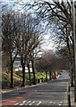
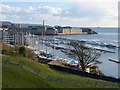
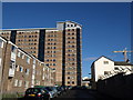
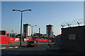
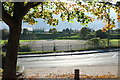
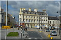
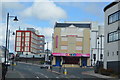
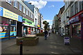
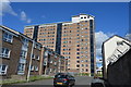
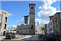
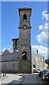
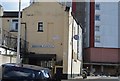
100 photos from this area
Area Information
Key information about the PL1 4TJ including its size, population, and administrative classification.
- Area Type
- Postcode
- Area Size
- 1.0 hectares
- Population
- 2015
- Population Density
- 3270 people/km²
House Prices in PL1 4TJ
73
Properties
£326,327
Average Sold Price
£184,300
Lowest Price
£642,643
Highest Price
Showing 73 properties
| Address | Type | Beds | Baths | Last Sale Price | Last Sale Date | |
|---|---|---|---|---|---|---|
| 135 Mount Wise Crescent, Plymouth, PL1 4TJ | Flat | - | - | £195,000 | Apr 2024 | |
| 137 Mount Wise Crescent, Plymouth, PL1 4TJ | Flat | - | - | £195,000 | Feb 2024 | |
| 75 Mount Wise Crescent, Plymouth, PL1 4TJ | Flat | - | - | £340,000 | Apr 2023 | |
| 111 Mount Wise Crescent, Plymouth, PL1 4TJ | Flat | - | - | £184,300 | Feb 2023 | |
| 99 Mount Wise Crescent, Plymouth, PL1 4TJ | Flat | - | - | £360,000 | Feb 2023 | |
| 89 Mount Wise Crescent, Plymouth, PL1 4TJ | Flat | - | - | £185,000 | Feb 2023 | |
| 147 Mount Wise Crescent, Plymouth, PL1 4TJ | Flat | - | - | £642,643 | Jan 2023 | |
| 123 Mount Wise Crescent, Plymouth, PL1 4TJ | Flat | - | - | £360,000 | Jan 2023 | |
| 131 Mount Wise Crescent, Plymouth, PL1 4TJ | Flat | - | - | £475,000 | Dec 2022 | |
| 55 Mount Wise Crescent, Plymouth, PL1 4TJ | Flat | 2 | 2 | - | - |
Page 1 of 8
Energy Efficiency in PL1 4TJ
Amenities
Schools
| Rank | School | Type | Entry gender | Ages |
|---|
Explore more schools in this area
Go to Schools tabDemographics
Household Size
One person
most common
Accommodation Type
Flats
most common
Tenure
34
majority
Ethnic Group
White
most common
Religion
N/A
most common
Household Composition
N/A
most common
Age
47
median
Adults (30-64 years)
most common
Household Deprivation
N/A
with no deprivation
NS-SEC
26
in Lower managerial occupations
Explore more demographic insights in this area
Go to Demographics tabPlanning
Planning Constraints
- Flood RiskPremium
- Ramsar Wetland SitesPremium
- Area of Outstanding Natural BeautyPremium
- Protected Nature ReservePremium
- Protected WoodlandPremium