Area Overview for PL1 4PU
Photos of PL1 4PU
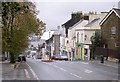

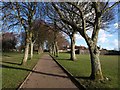
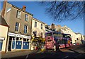
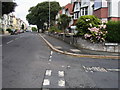
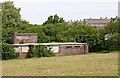
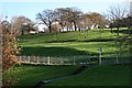
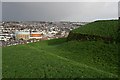
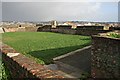

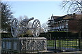
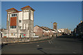
100 photos from this area
Area Information
Key information about the PL1 4PU including its size, population, and administrative classification.
- Area Type
- Postcode
- Area Size
- 7967 m²
- Population
- 1744
- Population Density
- 8325 people/km²
House Prices in PL1 4PU
40
Properties
£82,321
Average Sold Price
£22,000
Lowest Price
£116,500
Highest Price
Showing 40 properties
| Address | Type | Beds | Baths | Last Sale Price | Last Sale Date | |
|---|---|---|---|---|---|---|
| 11 Portland Court, Plymouth, PL1 4PU | Flat | 2 | 1 | £112,000 | Sep 2025 | |
| 33 Portland Court, Plymouth, PL1 4PU | Flat | - | - | £94,000 | Jun 2025 | |
| 19 Portland Court, Plymouth, PL1 4PU | Flat | - | - | £85,000 | Jun 2025 | |
| 39 Portland Court, Plymouth, PL1 4PU | Flat | 2 | 1 | £115,000 | Jan 2025 | |
| 40 Portland Court, Plymouth, PL1 4PU | Flat | - | - | £95,000 | Jan 2025 | |
| 22 Portland Court, Plymouth, PL1 4PU | Flat | 1 | 1 | £100,000 | Dec 2024 | |
| 5 Portland Court, Plymouth, PL1 4PU | Flat | - | - | £90,000 | Oct 2024 | |
| 21 Portland Court, Plymouth, PL1 4PU | Flat | 1 | 1 | £95,000 | Jul 2022 | |
| 29 Portland Court, Plymouth, PL1 4PU | Flat | 2 | 1 | £108,000 | May 2022 | |
| 30 Portland Court, Plymouth, PL1 4PU | Flat | 2 | 1 | £110,000 | Mar 2022 |
Page 1 of 4
Energy Efficiency in PL1 4PU
Amenities
Schools
| Rank | School | Type | Entry gender | Ages |
|---|
Explore more schools in this area
Go to Schools tabDemographics
Household Size
One person
most common
Accommodation Type
Flats
most common
Tenure
44
majority
Ethnic Group
White
most common
Religion
N/A
most common
Household Composition
N/A
most common
Age
47
median
Adults (30-64 years)
most common
Household Deprivation
N/A
with no deprivation
NS-SEC
30
in Lower managerial occupations
Explore more demographic insights in this area
Go to Demographics tabPlanning
Planning Constraints
- Flood RiskPremium
- Ramsar Wetland SitesPremium
- Area of Outstanding Natural BeautyPremium
- Protected Nature ReservePremium
- Protected WoodlandPremium