Area Overview for GL9 1AT
Photos of GL9 1AT
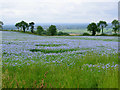
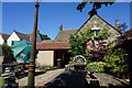
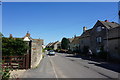
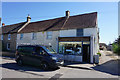
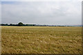
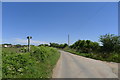
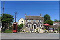
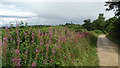
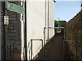
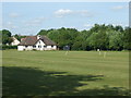
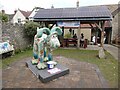
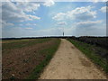
50 photos from this area
Area Information
Key information about the GL9 1AT including its size, population, and administrative classification.
- Area Type
- Postcode
- Area Size
- 6971 m²
- Population
- 2192
- Population Density
- 45 people/km²
House Prices in GL9 1AT
10
Properties
£316,100
Average Sold Price
£162,500
Lowest Price
£385,000
Highest Price
Showing 10 properties
| Address | Type | Beds | Baths | Last Sale Price | Last Sale Date | |
|---|---|---|---|---|---|---|
| Goldstone, High Street, Hawkesbury Upton, GL9 1AT | Cottage | 4 | 3 | £385,000 | Apr 2022 | |
| Templars Lodge, High Street, Hawkesbury Upton, GL9 1AT | house | - | - | £350,000 | Feb 2021 | |
| The Manse, High Street, Hawkesbury Upton, GL9 1AT | house | - | - | £350,000 | Feb 2021 | |
| Old Shop Cottage, High Street, Hawkesbury Upton, GL9 1AT | Semi-detached | 3 | 1 | £333,000 | Jan 2018 | |
| Corner House, High Street, Hawkesbury Upton, GL9 1AT | Detached | 4 | 1 | £162,500 | Sep 2011 | |
| Bacon Cottage, Back Street, Hawkesbury Upton, GL9 1AT | Detached | 4 | 3 | - | - | |
| Bacon Cottage, High Street, Hawkesbury Upton, GL9 1AT | Semi-detached | 2 | - | - | - | |
| Maypole Farmhouse, High Street, Hawkesbury Upton, GL9 1AT | Detached | - | - | - | - | |
| Hillbert, High Street, Hawkesbury Upton, GL9 1AT | Detached | - | - | - | - | |
| The Cottage, High Street, Hawkesbury Upton, GL9 1AT | Detached | - | - | - | - |
Energy Efficiency in GL9 1AT
Amenities
Schools
| Rank | School | Type | Entry gender | Ages |
|---|
Explore more schools in this area
Go to Schools tabDemographics
Household Size
Two person
most common
Accommodation Type
Houses
most common
Tenure
79
majority
Ethnic Group
White
most common
Religion
N/A
most common
Household Composition
N/A
most common
Age
47
median
Adults (30-64 years)
most common
Household Deprivation
N/A
with no deprivation
NS-SEC
44
in Lower managerial occupations
Explore more demographic insights in this area
Go to Demographics tabPlanning
Planning Constraints
- Flood RiskPremium
- Ramsar Wetland SitesPremium
- Area of Outstanding Natural BeautyPremium
- Protected Nature ReservePremium
- Protected WoodlandPremium