Area Overview for GL8 8DL
Photos of GL8 8DL

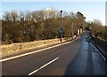
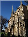
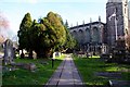
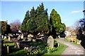
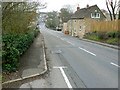
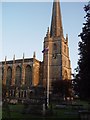
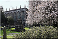
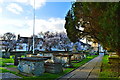
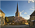
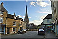
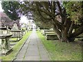
100 photos from this area
Area Information
Key information about the GL8 8DL including its size, population, and administrative classification.
- Area Type
- Postcode
- Area Size
- 3.2 hectares
- Population
- 1590
- Population Density
- 2170 people/km²
House Prices in GL8 8DL
19
Properties
£299,464
Average Sold Price
£98,000
Lowest Price
£695,000
Highest Price
Showing 19 properties
| Address | Type | Beds | Baths | Last Sale Price | Last Sale Date | |
|---|---|---|---|---|---|---|
| The Cwtch, 39 Silver Street, Tetbury, GL8 8DL | Terraced | 3 | 2 | £500,000 | Oct 2025 | |
| 24 Silver Street, Tetbury, GL8 8DL | Terraced | 2 | 1 | £285,000 | Mar 2022 | |
| 22 Silver Street, Tetbury, GL8 8DL | house | 2 | 1 | £225,000 | Jan 2022 | |
| 28 Silver Street, Tetbury, GL8 8DL | Terraced | 3 | 2 | £395,000 | May 2021 | |
| Fox Cottage, 26 Silver Street, Tetbury, GL8 8DL | Terraced | 2 | 1 | £205,000 | Sep 2014 | |
| 42 Silver Street, Tetbury, GL8 8DL | Detached | 2 | - | £440,000 | Jun 2013 | |
| 32 Silver Street, Tetbury, GL8 8DL | house | 1 | - | £149,000 | Oct 2012 | |
| 43 Silver Street, Tetbury, GL8 8DL | Semi-detached | - | - | £695,000 | Oct 2009 | |
| 20 Silver Street, Tetbury, GL8 8DL | Terraced | - | - | £246,000 | Apr 2008 | |
| 36 Silver Street, Tetbury, GL8 8DL | Semi-detached | 3 | 2 | £305,000 | Aug 2006 |
Page 1 of 2
Energy Efficiency in GL8 8DL
Amenities
Schools
| Rank | School | Type | Entry gender | Ages |
|---|
Explore more schools in this area
Go to Schools tabDemographics
Household Size
One person
most common
Accommodation Type
Houses
most common
Tenure
68
majority
Ethnic Group
White
most common
Religion
N/A
most common
Household Composition
N/A
most common
Age
47
median
Adults (30-64 years)
most common
Household Deprivation
N/A
with no deprivation
NS-SEC
43
in Lower managerial occupations
Explore more demographic insights in this area
Go to Demographics tabPlanning
Planning Constraints
- Flood RiskPremium
- Ramsar Wetland SitesPremium
- Area of Outstanding Natural BeautyPremium
- Protected Nature ReservePremium
- Protected WoodlandPremium