Area Overview for GL7 6HH
Photos of GL7 6HH
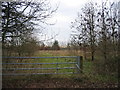
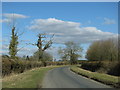
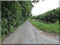
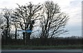
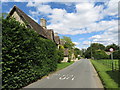
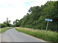
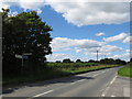
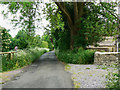
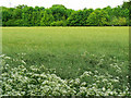
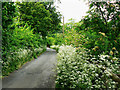
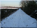
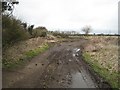
15 photos from this area
Area Information
Key information about the GL7 6HH including its size, population, and administrative classification.
- Area Type
- Postcode
- Area Size
- 15.8 hectares
- Population
- 1532
- Population Density
- 72 people/km²
House Prices in GL7 6HH
28
Properties
£335,765
Average Sold Price
£76,000
Lowest Price
£825,000
Highest Price
Showing 28 properties
| Address | Type | Beds | Baths | Last Sale Price | Last Sale Date | |
|---|---|---|---|---|---|---|
| 6 Parkway, Siddington, GL7 6HH | Semi-detached | 3 | 1 | £315,000 | Jul 2025 | |
| 4 Parkway, Siddington, GL7 6HH | house | - | - | £290,000 | May 2024 | |
| 18 Parkway, Siddington, GL7 6HH | house | 4 | - | £180,000 | Apr 2023 | |
| 36 Parkway, Siddington, GL7 6HH | house | - | - | £570,000 | Dec 2021 | |
| Spring House, Parkway, Siddington, GL7 6HH | house | - | - | £455,260 | Sep 2018 | |
| 20 Parkway, Siddington, GL7 6HH | Semi-detached | 4 | - | £349,000 | Aug 2014 | |
| Fieldsview, Parkway, Siddington, GL7 6HH | Detached | 4 | 3 | £400,000 | Jul 2014 | |
| 8 Parkway, Siddington, GL7 6HH | house | - | - | £249,950 | Nov 2013 | |
| 32 Parkway, Siddington, GL7 6HH | house | 6 | - | £265,000 | Jun 2012 | |
| 2 Parkway, Siddington, GL7 6HH | house | 4 | 2 | £280,000 | Mar 2011 |
Page 1 of 3
Energy Efficiency in GL7 6HH
Amenities
Schools
| Rank | School | Type | Entry gender | Ages |
|---|
Explore more schools in this area
Go to Schools tabDemographics
Household Size
Two person
most common
Accommodation Type
Houses
most common
Tenure
82
majority
Ethnic Group
White
most common
Religion
N/A
most common
Household Composition
N/A
most common
Age
47
median
Adults (30-64 years)
most common
Household Deprivation
N/A
with no deprivation
NS-SEC
48
in Lower managerial occupations
Explore more demographic insights in this area
Go to Demographics tabPlanning
Planning Constraints
- Flood RiskPremium
- Ramsar Wetland SitesPremium
- Area of Outstanding Natural BeautyPremium
- Protected Nature ReservePremium
- Protected WoodlandPremium