Area Overview for GL7 6AH
Photos of GL7 6AH
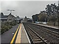
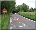
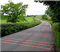
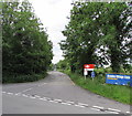
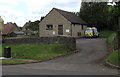
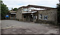
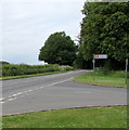
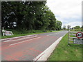


115 photos from this area
Area Information
Key information about the GL7 6AH including its size, population, and administrative classification.
- Area Type
- Postcode
- Area Size
- 3280 m²
- Population
- 2091
- Population Density
- 51 people/km²
House Prices in GL7 6AH
6
Properties
£564,500
Average Sold Price
£264,000
Lowest Price
£865,000
Highest Price
Showing 6 properties
| Address | Type | Beds | Baths | Last Sale Price | Last Sale Date | |
|---|---|---|---|---|---|---|
| Sycamore House, West Lane, Kemble, GL7 6AH | house | - | - | £264,000 | May 2018 | |
| Fordwood House, 166 West Lane, Kemble, GL7 6AH | house | - | - | £865,000 | Jun 2017 | |
| Caravan, Sycamore House, West Lane, Kemble, GL7 6AH | Mobile Home | - | - | - | - | |
| Symposium Rooms Ltd, Old Farm Office, West Lane, Kemble, GL7 6AH | Office | - | - | - | - | |
| 167 West Lane, Kemble, GL7 6AH | house | - | - | - | - | |
| 168 West Lane, Kemble, GL7 6AH | house | - | - | - | - |
Energy Efficiency in GL7 6AH
Amenities
Schools
| Rank | School | Type | Entry gender | Ages |
|---|
Explore more schools in this area
Go to Schools tabDemographics
Household Size
Two person
most common
Accommodation Type
Houses
most common
Tenure
67
majority
Ethnic Group
White
most common
Religion
N/A
most common
Household Composition
N/A
most common
Age
47
median
Adults (30-64 years)
most common
Household Deprivation
N/A
with no deprivation
NS-SEC
47
in Lower managerial occupations
Explore more demographic insights in this area
Go to Demographics tabPlanning
Planning Constraints
- Flood RiskPremium
- Ramsar Wetland SitesPremium
- Area of Outstanding Natural BeautyPremium
- Protected Nature ReservePremium
- Protected WoodlandPremium