Area Overview for GL7 4BW
Photos of GL7 4BW
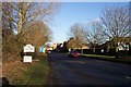
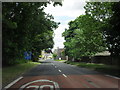

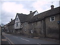
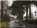
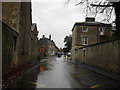
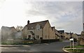
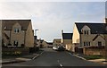
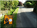
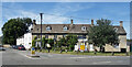
28 photos from this area
Area Information
Key information about the GL7 4BW including its size, population, and administrative classification.
- Area Type
- Postcode
- Area Size
- 1.2 hectares
- Population
- 2167
- Population Density
- 214 people/km²
House Prices in GL7 4BW
15
Properties
£517,842
Average Sold Price
£375,000
Lowest Price
£755,000
Highest Price
Showing 15 properties
| Address | Type | Beds | Baths | Last Sale Price | Last Sale Date | |
|---|---|---|---|---|---|---|
| The Manse, Milton Street, Fairford, GL7 4BW | Retail | 4 | 2 | £755,000 | Jul 2022 | |
| Annerley, Milton Street, Fairford, GL7 4BW | Cottage | 3 | 1 | £505,050 | Mar 2022 | |
| The Bridge, Milton Street, Fairford, GL7 4BW | Cottage | 5 | 2 | £640,000 | May 2018 | |
| Tinkers Cottage, Milton Street, Fairford, GL7 4BW | Terraced | 3 | 1 | £375,000 | Aug 2017 | |
| Clifford House, Milton Street, Fairford, GL7 4BW | house | - | - | £455,000 | Jun 2016 | |
| The Nurseries, Milton Street, Fairford, GL7 4BW | house | 3 | - | £377,000 | Sep 2013 | |
| 79 Milton Street, Fairford, GL7 4BW | Terraced | 3 | 1 | - | - | |
| The Flat, Millvale, Milton Street, Fairford, GL7 4BW | Flat | - | - | - | - | |
| Tap Room Cottage, Milton Street, Fairford, GL7 4BW | Detached | - | - | - | - | |
| The Boat Shop, Milton Street, Fairford, GL7 4BW | Terraced | - | - | - | - |
Page 1 of 2
Energy Efficiency in GL7 4BW
Amenities
Schools
| Rank | School | Type | Entry gender | Ages |
|---|
Explore more schools in this area
Go to Schools tabDemographics
Household Size
Two person
most common
Accommodation Type
Houses
most common
Tenure
75
majority
Ethnic Group
White
most common
Religion
N/A
most common
Household Composition
N/A
most common
Age
47
median
Adults (30-64 years)
most common
Household Deprivation
N/A
with no deprivation
NS-SEC
44
in Lower managerial occupations
Explore more demographic insights in this area
Go to Demographics tabPlanning
Planning Constraints
- Flood RiskPremium
- Ramsar Wetland SitesPremium
- Area of Outstanding Natural BeautyPremium
- Protected Nature ReservePremium
- Protected WoodlandPremium