Area Overview for GL7 4BT
Photos of GL7 4BT
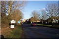
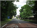

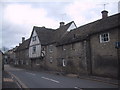
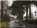
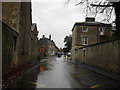
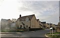
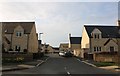
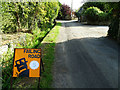
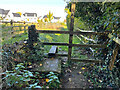
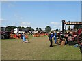
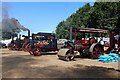
28 photos from this area
Area Information
Key information about the GL7 4BT including its size, population, and administrative classification.
- Area Type
- Postcode
- Area Size
- 26.9 hectares
- Population
- 2167
- Population Density
- 214 people/km²
House Prices in GL7 4BT
7
Properties
£912,500
Average Sold Price
£525,000
Lowest Price
£1,300,000
Highest Price
Showing 7 properties
| Address | Type | Beds | Baths | Last Sale Price | Last Sale Date | |
|---|---|---|---|---|---|---|
| Mere Coach House, 3/157 Lower Croft To London Road, Fairford, GL7 4BT | house | - | - | £1,300,000 | Sep 2020 | |
| Mere Park, 3/157 Lower Croft To London Road, Fairford, GL7 4BT | house | 8 | 8 | £525,000 | Sep 2009 | |
| Burdocks, 3/173 Fairford Road To South Leaze Cottage Meysey Hampton, Fairford, GL7 4BT | Detached | 12 | 7 | - | - | |
| Mere Farmhouse, 3/157 Lower Croft To London Road, Fairford, GL7 4BT | Detached | - | - | - | - | |
| Stable Cottage, 3/173 Fairford Road To South Leaze Cottage Meysey Hampton, Fairford, GL7 4BT | Semi-detached | - | - | - | - | |
| The Lodge, Burdocks, 3/173 Fairford Road To South Leaze Cottage Meysey Hampton, Fairford, GL7 4BT | Detached | - | - | - | - | |
| Flat, Mere Park, 3/157 Lower Croft To London Road, Fairford, GL7 4BT | Flat | - | - | - | - |
Energy Efficiency in GL7 4BT
Amenities
Schools
| Rank | School | Type | Entry gender | Ages |
|---|
Explore more schools in this area
Go to Schools tabDemographics
Household Size
Two person
most common
Accommodation Type
Houses
most common
Tenure
75
majority
Ethnic Group
White
most common
Religion
N/A
most common
Household Composition
N/A
most common
Age
47
median
Adults (30-64 years)
most common
Household Deprivation
N/A
with no deprivation
NS-SEC
44
in Lower managerial occupations
Explore more demographic insights in this area
Go to Demographics tabPlanning
Planning Constraints
- Flood RiskPremium
- Ramsar Wetland SitesPremium
- Area of Outstanding Natural BeautyPremium
- Protected Nature ReservePremium
- Protected WoodlandPremium