Area Overview for GL7 1PE
Photos of GL7 1PE
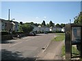

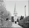
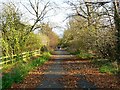
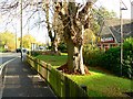
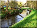
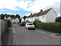
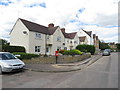
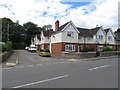
43 photos from this area
Area Information
Key information about the GL7 1PE including its size, population, and administrative classification.
- Area Type
- Postcode
- Area Size
- 4825 m²
- Population
- 2604
- Population Density
- 225 people/km²
House Prices in GL7 1PE
13
Properties
£268,950
Average Sold Price
£111,000
Lowest Price
£548,500
Highest Price
Showing 13 properties
| Address | Type | Beds | Baths | Last Sale Price | Last Sale Date | |
|---|---|---|---|---|---|---|
| North Bridge House, Siddington Road, Cirencester, GL7 1PE | Semi-detached | 3 | 1 | £400,000 | Sep 2025 | |
| Wynarth, Siddington Road, Cirencester, GL7 1PE | house | - | - | £548,500 | Apr 2022 | |
| Elleberta, Siddington Road, Cirencester, GL7 1PE | Semi-detached | 3 | - | £310,000 | Oct 2020 | |
| Meadowside, Siddington Road, Cirencester, GL7 1PE | Terraced | 3 | 1 | £315,000 | Oct 2017 | |
| 4, Farmead Court, Siddington Road, Cirencester, GL7 1PE | Flat | 2 | 1 | £172,000 | Nov 2016 | |
| 2, Farmead Court, Siddington Road, Cirencester, GL7 1PE | Flat | 2 | 1 | £161,950 | Jun 2015 | |
| 1, Farmead Court, Siddington Road, Cirencester, GL7 1PE | Maisonette | - | - | £125,000 | Apr 2015 | |
| Elfin House, Siddington Road, Cirencester, GL7 1PE | house | - | - | £250,000 | Jul 2012 | |
| Green Willows, Siddington Road, Cirencester, GL7 1PE | house | - | - | £272,500 | Dec 2011 | |
| Meadowcroft, Siddington Road, Cirencester, GL7 1PE | house | - | - | £292,500 | Jan 2010 |
Page 1 of 2
Energy Efficiency in GL7 1PE
Amenities
Schools
| Rank | School | Type | Entry gender | Ages |
|---|
Explore more schools in this area
Go to Schools tabDemographics
Household Size
Two person
most common
Accommodation Type
Houses
most common
Tenure
54
majority
Ethnic Group
White
most common
Religion
N/A
most common
Household Composition
N/A
most common
Age
47
median
Adults (30-64 years)
most common
Household Deprivation
N/A
with no deprivation
NS-SEC
38
in Lower managerial occupations
Explore more demographic insights in this area
Go to Demographics tabPlanning
Planning Constraints
- Flood RiskPremium
- Ramsar Wetland SitesPremium
- Area of Outstanding Natural BeautyPremium
- Protected Nature ReservePremium
- Protected WoodlandPremium