Area Overview for GL6 8AY
Photos of GL6 8AY
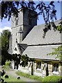

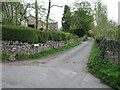
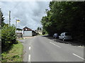
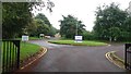
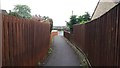
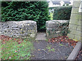
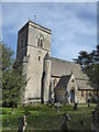
25 photos from this area
Area Information
Key information about the GL6 8AY including its size, population, and administrative classification.
- Area Type
- Postcode
- Area Size
- 3.1 hectares
- Population
- 1350
- Population Density
- 1321 people/km²
House Prices in GL6 8AY
12
Properties
£430,370
Average Sold Price
£135,000
Lowest Price
£900,000
Highest Price
Showing 12 properties
| Address | Type | Beds | Baths | Last Sale Price | Last Sale Date | |
|---|---|---|---|---|---|---|
| Jasmine Cottage, Time Cottage To Jasmine Cottage Bussage, Bussage, Stroud, GL6 8AY | Detached | 2 | 1 | £410,000 | Mar 2024 | |
| Cavanbah, Jasmine Cottage To Ivydene Bussage, Bussage, Stroud, GL6 8AY | house | - | - | £900,000 | Jun 2021 | |
| Naomi, Jasmine Cottage To Autumn Cottage Bussage, Bussage, Stroud, GL6 8AY | Detached | 3 | 2 | £430,000 | Feb 2020 | |
| Lyncroft, Jasmine Cottage To Autumn Cottage Bussage, Bussage, Stroud, GL6 8AY | Cottage | 4 | 2 | £595,000 | Jul 2018 | |
| Domek, Bussage Hill, Bussage, Stroud, GL6 8AY | Bungalow | 3 | 1 | £272,000 | Aug 2014 | |
| Autumn Cottage, Lyndholme To Tivoli Eastcombe, Bussage, Stroud, GL6 8AY | house | 3 | - | £296,700 | Jan 2012 | |
| The Old School House, Bussage Hill, Bussage, Stroud, GL6 8AY | Detached | 5 | 3 | £775,000 | Aug 2007 | |
| Three Beeches, Bussage Hill, Bussage, Stroud, GL6 8AY | Detached | - | - | £350,000 | Apr 2004 | |
| Pine Court, Bussage Hill, Bussage, Stroud, GL6 8AY | Detached | - | - | £140,000 | May 2000 | |
| Le Mistral, Bussage Hill, Bussage, Stroud, GL6 8AY | Detached | - | - | £135,000 | Aug 1999 |
Page 1 of 2
Energy Efficiency in GL6 8AY
Amenities
Schools
| Rank | School | Type | Entry gender | Ages |
|---|
Explore more schools in this area
Go to Schools tabDemographics
Household Size
Two person
most common
Accommodation Type
Houses
most common
Tenure
91
majority
Ethnic Group
White
most common
Religion
N/A
most common
Household Composition
N/A
most common
Age
47
median
Adults (30-64 years)
most common
Household Deprivation
N/A
with no deprivation
NS-SEC
43
in Lower managerial occupations
Explore more demographic insights in this area
Go to Demographics tabPlanning
Planning Constraints
- Flood RiskPremium
- Ramsar Wetland SitesPremium
- Area of Outstanding Natural BeautyPremium
- Protected Nature ReservePremium
- Protected WoodlandPremium