Area Overview for GL6 7LA
Photos of GL6 7LA
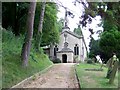
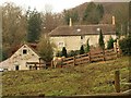
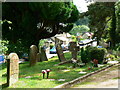
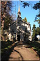
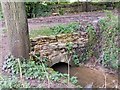
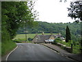
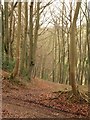
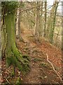
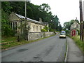
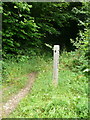
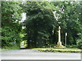
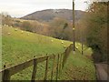
91 photos from this area
Area Information
Key information about the GL6 7LA including its size, population, and administrative classification.
- Area Type
- Postcode
- Area Size
- 61.8 hectares
- Population
- 1623
- Population Density
- 94 people/km²
House Prices in GL6 7LA
13
Properties
£442,350
Average Sold Price
£235,000
Lowest Price
£812,000
Highest Price
Showing 13 properties
| Address | Type | Beds | Baths | Last Sale Price | Last Sale Date | |
|---|---|---|---|---|---|---|
| Elcombe Cottage, Catswood Lane, Stroud, GL6 7LA | Detached | 2 | 2 | £330,000 | Oct 2022 | |
| Springfield, Catswood Lane, Stroud, GL6 7LA | house | 3 | 2 | £479,000 | Oct 2020 | |
| Woodside Cottage, Catswood Lane, Stroud, GL6 7LA | Detached | 2 | 2 | £355,750 | Jun 2017 | |
| Fletchers Knapp, Catswood Lane, Stroud, GL6 7LA | house | - | - | £812,000 | Nov 2009 | |
| Yew Tree Cottage, Catswood Lane, Stroud, GL6 7LA | Detached | - | - | £235,000 | Jul 1998 | |
| Linden Cottage, Catswood Lane, Stroud, GL6 7LA | Detached | - | - | - | - | |
| Kenwood Cottage, Catswood Lane, Stroud, GL6 7LA | house | - | - | - | - | |
| Hillside, Catswood Lane, Stroud, GL6 7LA | Detached | - | - | - | - | |
| Rose Cottage, Catswood Lane, Stroud, GL6 7LA | house | - | - | - | - | |
| Habricia Cottage, Catswood Lane, Stroud, GL6 7LA | Semi-detached | - | - | - | - |
Page 1 of 2
Energy Efficiency in GL6 7LA
Amenities
Schools
| Rank | School | Type | Entry gender | Ages |
|---|
Explore more schools in this area
Go to Schools tabDemographics
Household Size
Two person
most common
Accommodation Type
Houses
most common
Tenure
87
majority
Ethnic Group
White
most common
Religion
N/A
most common
Household Composition
N/A
most common
Age
47
median
Adults (30-64 years)
most common
Household Deprivation
N/A
with no deprivation
NS-SEC
56
in Lower managerial occupations
Explore more demographic insights in this area
Go to Demographics tabPlanning
Planning Constraints
- Flood RiskPremium
- Ramsar Wetland SitesPremium
- Area of Outstanding Natural BeautyPremium
- Protected Nature ReservePremium
- Protected WoodlandPremium