Area Overview for GL6 7AJ
Photos of GL6 7AJ
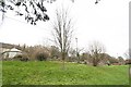
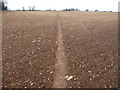
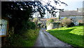
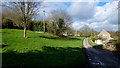
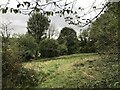
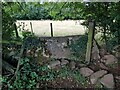
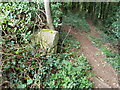
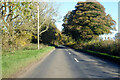
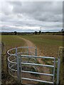
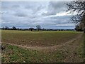
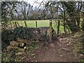
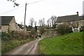
13 photos from this area
Area Information
Key information about the GL6 7AJ including its size, population, and administrative classification.
- Area Type
- Postcode
- Area Size
- 1.1 km²
- Population
- 2223
- Population Density
- 76 people/km²
House Prices in GL6 7AJ
13
Properties
£636,800
Average Sold Price
£499,000
Lowest Price
£700,000
Highest Price
Showing 13 properties
| Address | Type | Beds | Baths | Last Sale Price | Last Sale Date | |
|---|---|---|---|---|---|---|
| West Cottage, East Cottage To Nashend Farm, Nashend, Bisley, GL6 7AJ | house | - | - | £650,000 | Nov 2020 | |
| East Cottage, East Cottage To Nashend Farm, Nashend, Bisley, GL6 7AJ | Detached | - | - | £685,000 | Nov 2020 | |
| Charlies Barn, East Cottage To Nashend Farm, Nashend, Bisley, GL6 7AJ | house | - | - | £700,000 | Jun 2018 | |
| Cricketty Mill, East Cottage To Nashend Farm, Nashend, Bisley, GL6 7AJ | Detached | - | - | £650,000 | Nov 2007 | |
| Lower Nashend Cottage, East Cottage To Nashend Farm, Nashend, Bisley, GL6 7AJ | Semi-detached | 3 | 1 | £499,000 | Apr 2000 | |
| Nashend Farm House, Holloway Road To Nashend Farm, Bisley, GL6 7AJ | Semi-detached | - | - | - | - | |
| Henry Smarts Cottage, East Cottage To Nashend Farm, Nashend, Bisley, GL6 7AJ | house | - | - | - | - | |
| The Paddocks, East Cottage To Nashend Farm, Nashend, Bisley, GL6 7AJ | Detached | - | - | - | - | |
| 2, Nashend Cottages, Holloway Road To Nashend Farm, Bisley, GL6 7AJ | house | - | - | - | - | |
| The Old Farmhouse, East Cottage To Nashend Farm, Nashend, Bisley, GL6 7AJ | Detached | - | - | - | - |
Page 1 of 2
Energy Efficiency in GL6 7AJ
Amenities
Schools
| Rank | School | Type | Entry gender | Ages |
|---|
Explore more schools in this area
Go to Schools tabDemographics
Household Size
Two person
most common
Accommodation Type
Houses
most common
Tenure
82
majority
Ethnic Group
White
most common
Religion
N/A
most common
Household Composition
N/A
most common
Age
47
median
Adults (30-64 years)
most common
Household Deprivation
N/A
with no deprivation
NS-SEC
44
in Lower managerial occupations
Explore more demographic insights in this area
Go to Demographics tabPlanning
Planning Constraints
- Flood RiskPremium
- Ramsar Wetland SitesPremium
- Area of Outstanding Natural BeautyPremium
- Protected Nature ReservePremium
- Protected WoodlandPremium